Transport Functions
Multimodal
Hub Profile
Place type
Populated place
Region
Lower Saxony
Time zone
Europe/Berlin
Elevation
50 m
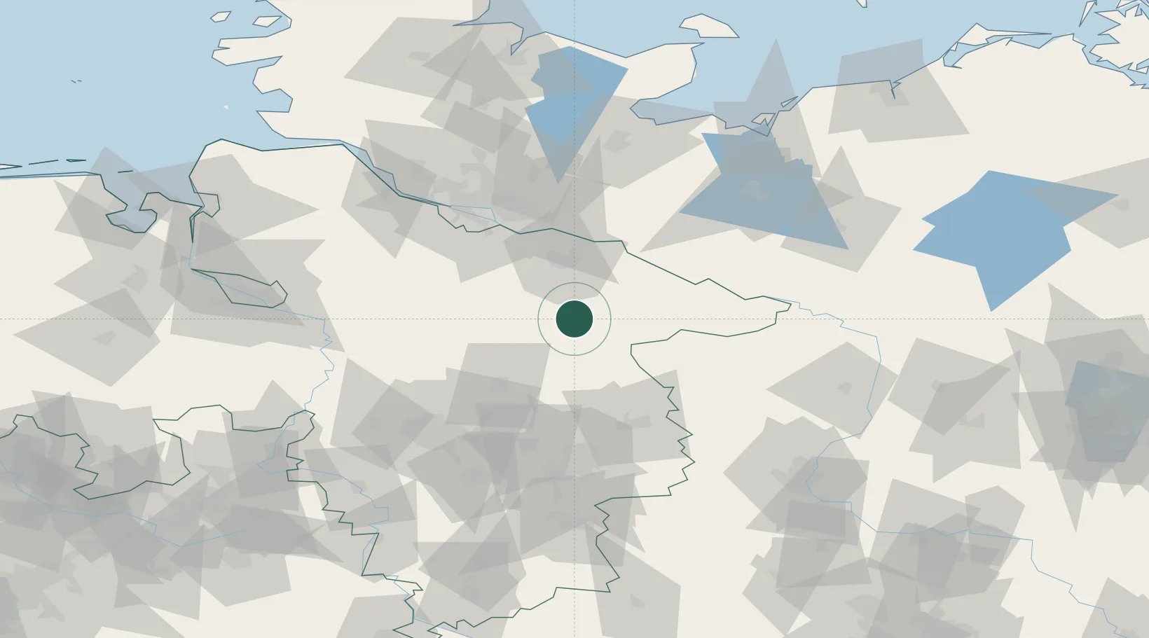
Location
Nearby Logistics Neighbours
Cities
- 1Gerdau3 km
- 2Uelzen6 km
- 3Wrestedt11 km
- 4Bad Bevensen15 km
- 5Unterlüss18 km
Ports
- 1Hamburg74 km
- 2Butzfleth99 km
- 3Lubeck103 km
- 4Gluckstadt114 km
- 5Lubeck-Travemunde115 km
Airports
- 1Faßberg Air Base20 km
- 2Celle Army Airfield51 km
- 3Braunschweig-Wolfsburg Airport72 km
- 4Hamburg-Finkenwerder Airport76 km
- 5Hannover Airport77 km
Trade Zones
DatabookThe Record of Consolidated Knowledge
Germany beyond logistics?