Transport Functions
Rail
Road
Hub Profile
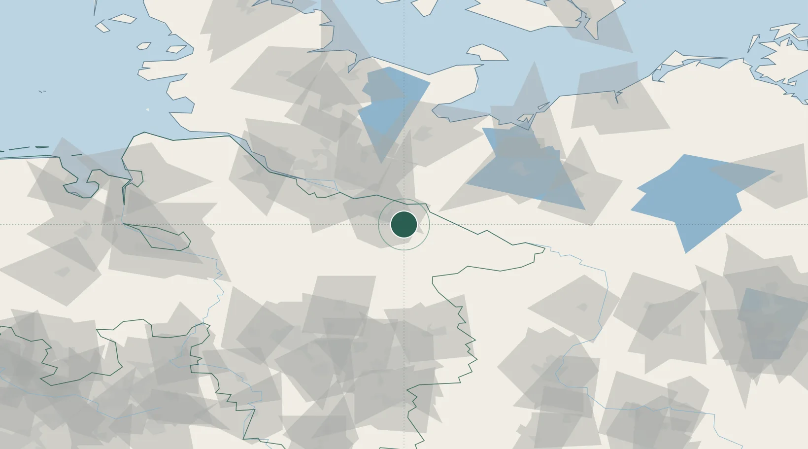
Place type
Populated place
Region
Lower Saxony
Time zone
Europe/Berlin
Elevation
69 m
Location
Nearby Logistics Neighbours
Cities
- 1Rullstorf8 km
- 2Neetze8 km
- 3Deutsch Evern8 km
- 4Scharnebeck10 km
- 5Lüneburg11 km
Ports
- 1Hamburg55 km
- 2Lubeck75 km
- 3Butzfleth84 km
- 4Lubeck-Travemunde86 km
- 5Wismar97 km
Airports
Trade Zones
DatabookThe Record of Consolidated Knowledge
Germany beyond logistics?