Transport Functions
Port
Rail
Road
Hub Profile
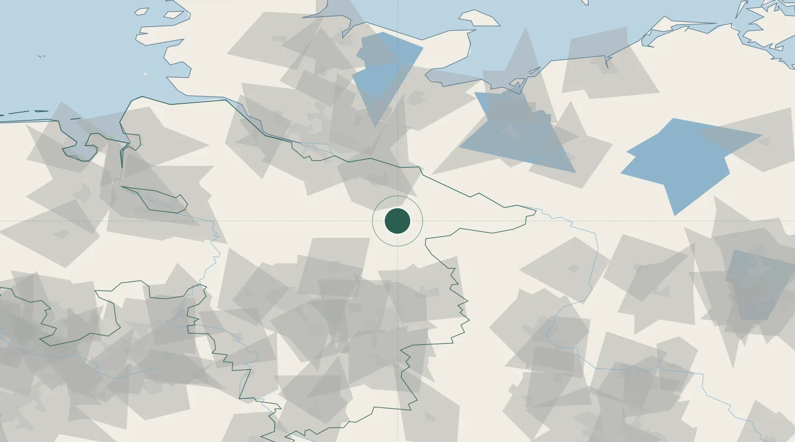
Place type
District seat
Region
Lower Saxony
Population
34,996
Time zone
Europe/Berlin
Elevation
42 m
Location
Nearby Logistics Neighbours
Cities
- 1Bohlsen6 km
- 2Wrestedt8 km
- 3Gerdau9 km
- 4Bad Bevensen13 km
- 5Rosche14 km
Ports
- 1Hamburg77 km
- 2Butzfleth102 km
- 3Lubeck102 km
- 4Lubeck-Travemunde113 km
- 5Gluckstadt118 km
Airports
- 1Faßberg Air Base25 km
- 2Celle Army Airfield55 km
- 3Braunschweig-Wolfsburg Airport72 km
- 4Hamburg-Finkenwerder Airport79 km
- 5Hannover Airport81 km
Trade Zones
DatabookThe Record of Consolidated Knowledge
Germany beyond logistics?