Transport Functions
Multimodal
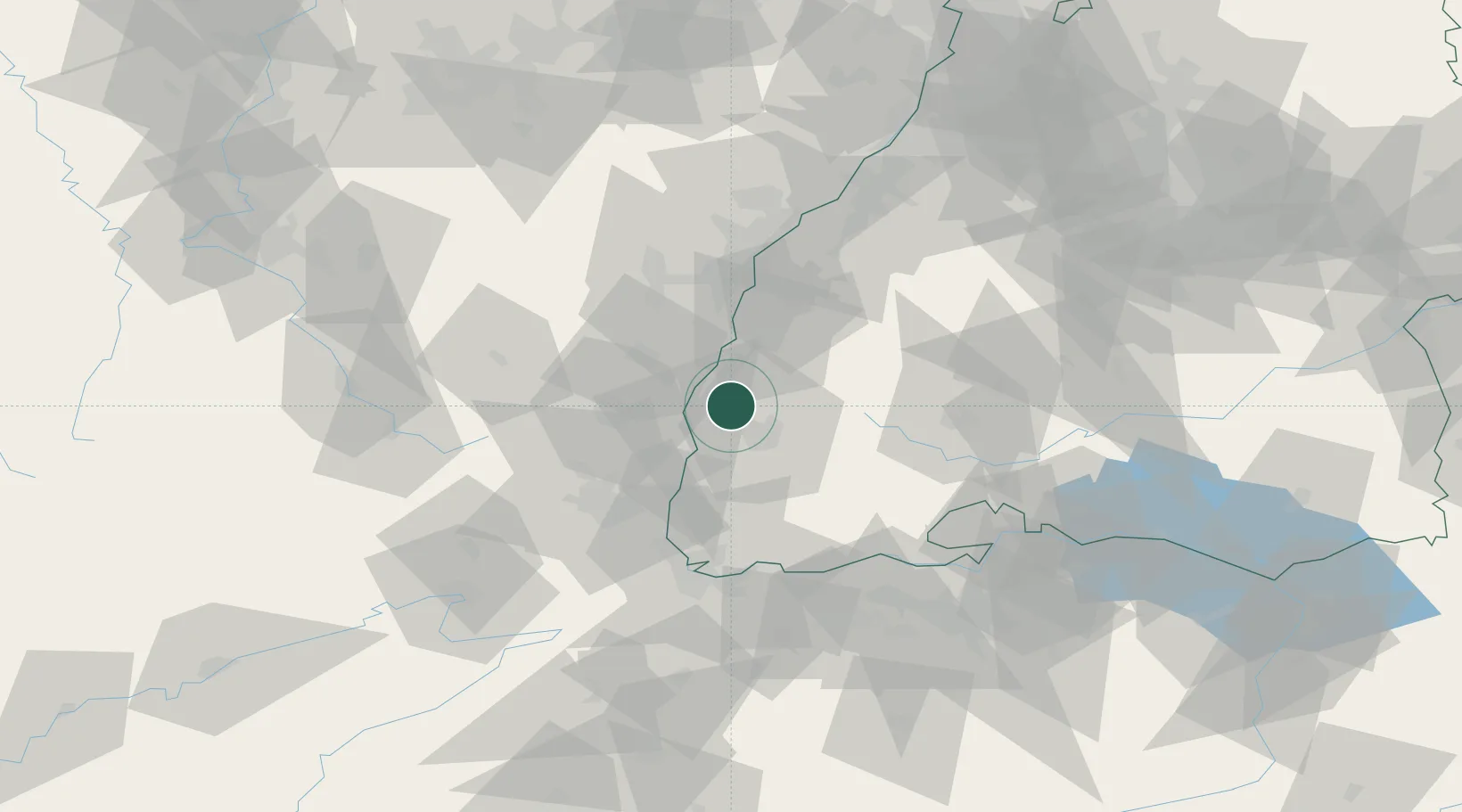
Hub Profile
Region
BW
Location
Nearby Logistics Neighbours
Cities
- 1Bahlingen0 km
- 2Endingen3 km
- 3Vogtsburg5 km
- 4Vogtsburg im Kaiserstuhl8 km
- 5Kenzingen10 km
Ports
- 1Bruxelles391 km
- 2Antwerpen420 km
- 3Genova424 km
- 4Savona427 km
- 5Rada Di Vado432 km
Airports
- 1Colmar Houssen airport28 km
- 2Lahr Airport29 km
- 3Strasbourg Airport48 km
- 4EuroAirport Basel–Mulhouse–Freiburg60 km
- 5Donaueschingen-Villingen Airfield61 km
Trade Zones
- 1ZFU Neuhof47 km
- 2ZFU Mulhouse50 km
- 3ZFU Hautepierre53 km
- 4ZFU Belfort87 km
- 5ZFU Montbéliard98 km
DatabookThe Record of Consolidated Knowledge
Germany beyond logistics?