Transport Functions
Rail
Road
Hub Profile
Place type
Populated place
Region
Baden-Wurttemberg
Population
9,034
Time zone
Europe/Berlin
Elevation
182 m
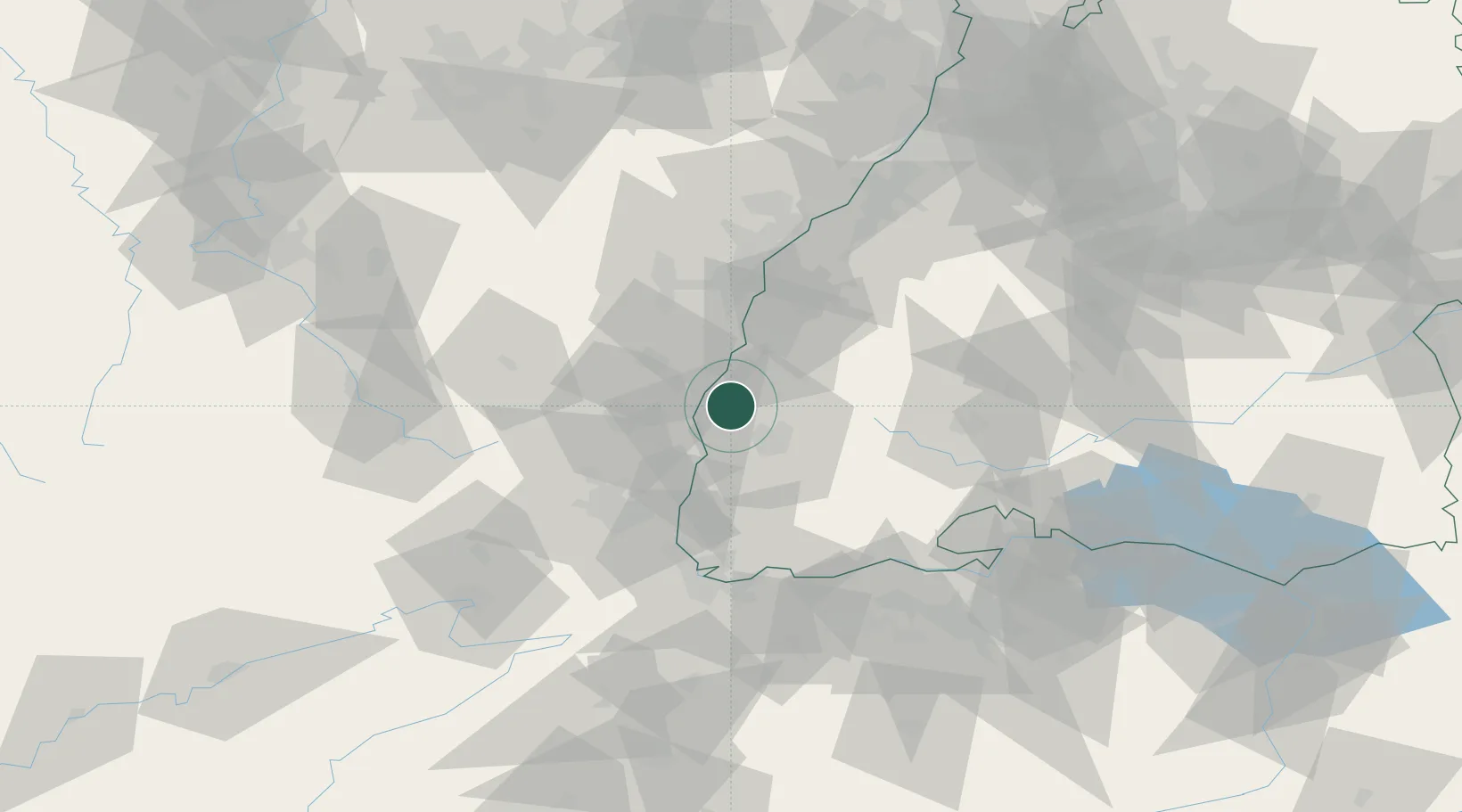
Location
Nearby Logistics Neighbours
Cities
- 1Bahlingen Am Kaiserstuhl3 km
- 2Bahlingen3 km
- 3Vogtsburg6 km
- 4Vogtsburg im Kaiserstuhl7 km
- 5Kenzingen9 km
Airports
- 1Colmar Houssen airport25 km
- 2Lahr Airport28 km
- 3Strasbourg Airport45 km
- 4EuroAirport Basel–Mulhouse–Freiburg61 km
- 5Donaueschingen-Villingen Airfield64 km
Trade Zones
- 1ZFU Neuhof46 km
- 2ZFU Mulhouse51 km
- 3ZFU Hautepierre51 km
- 4ZFU Belfort86 km
- 5ZFU Montbéliard98 km
DatabookThe Record of Consolidated Knowledge
Germany beyond logistics?