Transport Functions
Multimodal
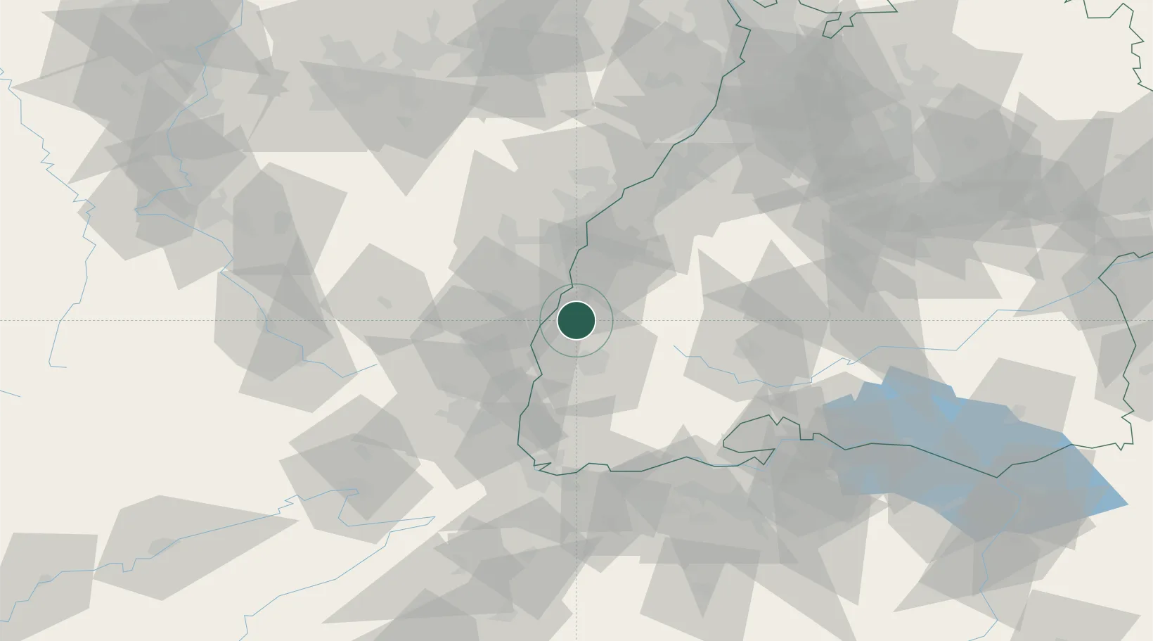
Hub Profile
Place type
Populated place
Region
Baden-Wurttemberg
Population
9,095
Time zone
Europe/Berlin
Elevation
172 m
Location
Nearby Logistics Neighbours
Cities
- 1Ringsheim4 km
- 2Endingen9 km
- 3Bahlingen Am Kaiserstuhl10 km
- 4Bahlingen10 km
- 5Saasenheim12 km
Airports
- 1Lahr Airport19 km
- 2Colmar Houssen airport32 km
- 3Strasbourg Airport39 km
- 4Donaueschingen-Villingen Airfield62 km
- 5Karlsruhe Baden-Baden Airport69 km
Trade Zones
- 1ZFU Neuhof38 km
- 2ZFU Hautepierre44 km
- 3ZFU Mulhouse60 km
- 4ZFU Belfort95 km
- 5ZFU Montbéliard106 km
DatabookThe Record of Consolidated Knowledge
Germany beyond logistics?