Transport Functions
Road
Multimodal
Hub Profile
Place type
Populated place
Region
Baden-Wurttemberg
Time zone
Europe/Berlin
Elevation
454 m
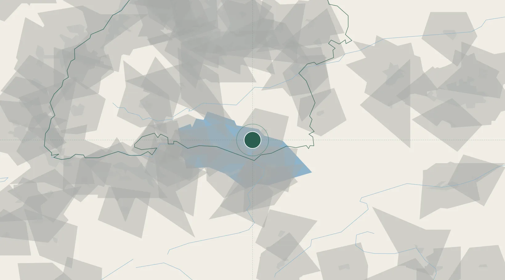
Location
Nearby Logistics Neighbours
Cities
- 1Schlier11 km
- 2Eriskirch11 km
- 3Deggenhausertal11 km
- 4Bernried14 km
- 5Baindt15 km
Ports
- 1Porto Di Lido-Venezia340 km
- 2Porto Di Chioggia349 km
- 3Nogaro353 km
- 4Grado366 km
- 5Genova374 km
Airports
Trade Zones
- 1Livigno Free Trade Zone140 km
- 2ZFU Neuhof159 km
- 3ZFU Mulhouse164 km
- 4ZFU Hautepierre167 km
- 5ZFU Belfort204 km
DatabookThe Record of Consolidated Knowledge
Germany beyond logistics?