Transport Functions
Multimodal
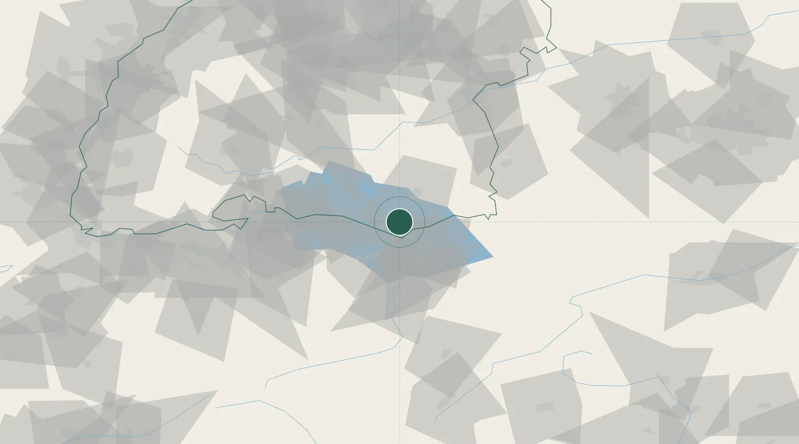
Hub Profile
Place type
Local administrative seat
Region
Baden-Wurttemberg
Population
4,319
Time zone
Europe/Berlin
Elevation
411 m
Location
Nearby Logistics Neighbours
Cities
- 1Kressbronn am Bodensee6 km
- 2Nonnenhorn8 km
- 3Wasserburg am Bodensee11 km
- 4Appenweiler11 km
- 5Bernried12 km
Ports
- 1Porto Di Lido-Venezia332 km
- 2Porto Di Chioggia341 km
- 3Nogaro347 km
- 4Grado359 km
- 5Genova363 km
Airports
Trade Zones
- 1Livigno Free Trade Zone130 km
- 2ZFU Mulhouse165 km
- 3ZFU Neuhof166 km
- 4ZFU Hautepierre174 km
- 5Magazzini Generali Con Chiasso204 km
DatabookThe Record of Consolidated Knowledge
Germany beyond logistics?