Transport Functions
Rail
Road
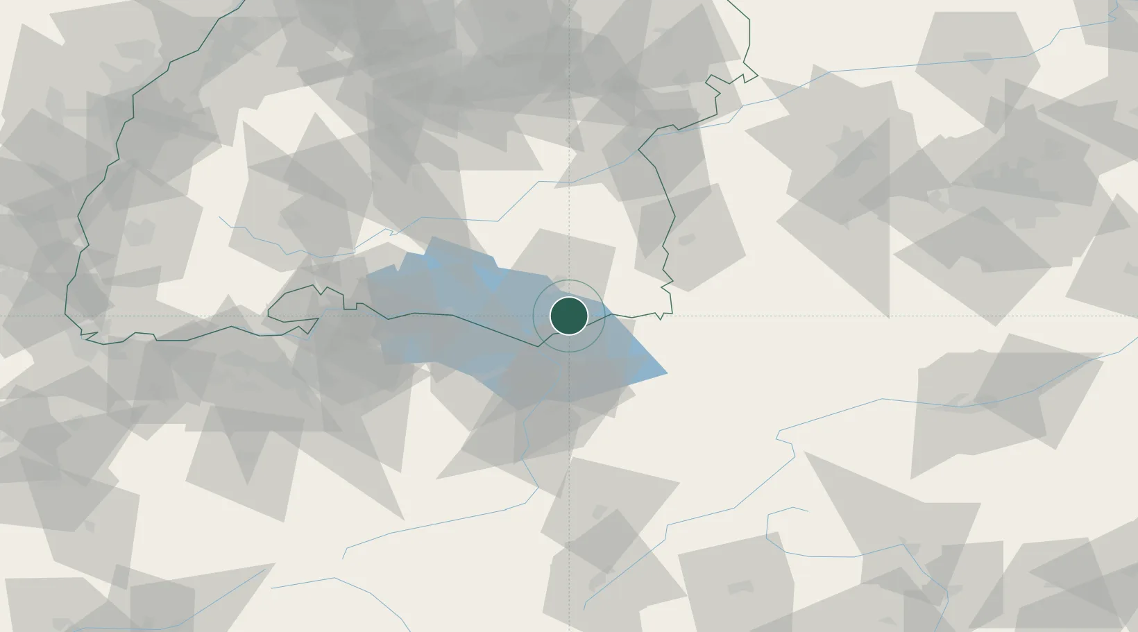
Hub Profile
Place type
Populated place
Region
Baden-Wurttemberg
Time zone
Europe/Berlin
Elevation
561 m
Location
Nearby Logistics Neighbours
Cities
- 1Kressbronn am Bodensee10 km
- 2Hergensweiler10 km
- 3Nonnenhorn11 km
- 4Schlier11 km
- 5Wangen im Allgäu11 km
Ports
- 1Porto Di Lido-Venezia327 km
- 2Porto Di Chioggia337 km
- 3Nogaro340 km
- 4Grado352 km
- 5Monfalcone362 km
Airports
Trade Zones
- 1Livigno Free Trade Zone130 km
- 2ZFU Neuhof173 km
- 3ZFU Mulhouse176 km
- 4ZFU Hautepierre180 km
- 5Magazzini Generali Con Chiasso210 km
DatabookThe Record of Consolidated Knowledge
Germany beyond logistics?