Transport Functions
Multimodal
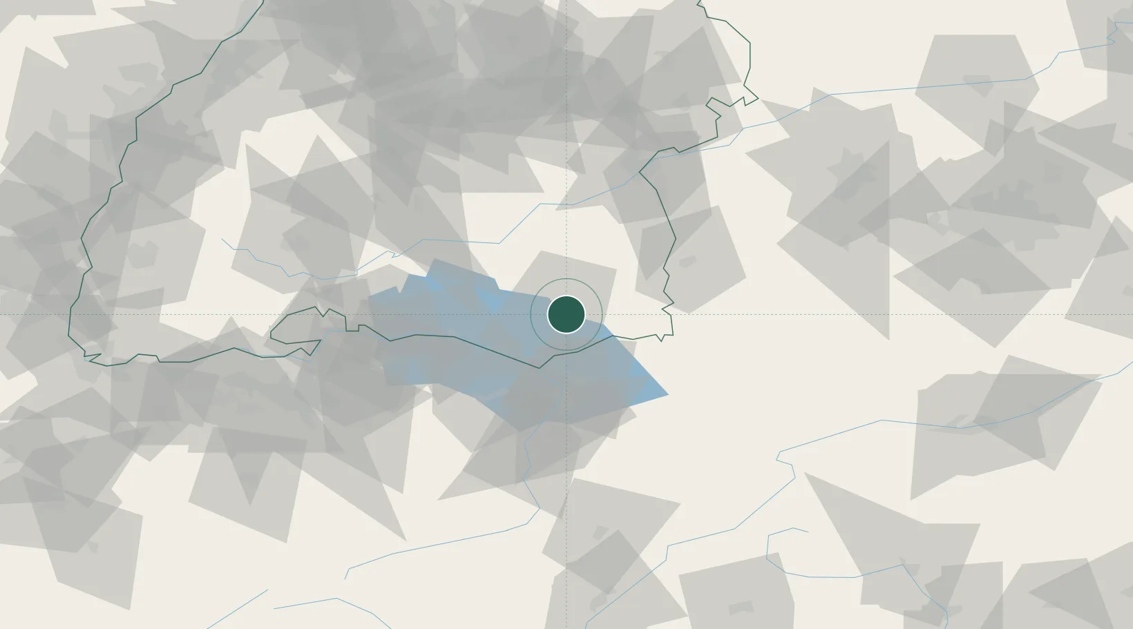
Hub Profile
Place type
Local administrative seat
Region
Baden-Wurttemberg
Population
3,665
Time zone
Europe/Berlin
Elevation
590 m
Location
Nearby Logistics Neighbours
Cities
- 1Baindt7 km
- 2Appenweiler11 km
- 3Bernried11 km
- 4Berg (Ravensburg)11 km
- 5Wolpertswende15 km
Ports
- 1Porto Di Lido-Venezia336 km
- 2Porto Di Chioggia346 km
- 3Nogaro348 km
- 4Grado360 km
- 5Monfalcone369 km
Airports
Trade Zones
- 1Livigno Free Trade Zone141 km
- 2ZFU Neuhof165 km
- 3ZFU Hautepierre173 km
- 4ZFU Mulhouse174 km
- 5ZFU Belfort215 km
DatabookThe Record of Consolidated Knowledge
Germany beyond logistics?