Transport Functions
Port
Road
Hub Profile
Place type
Populated place
Region
Mecklenburg-Vorpommern
Population
3,242
Time zone
Europe/Berlin
Elevation
14 m
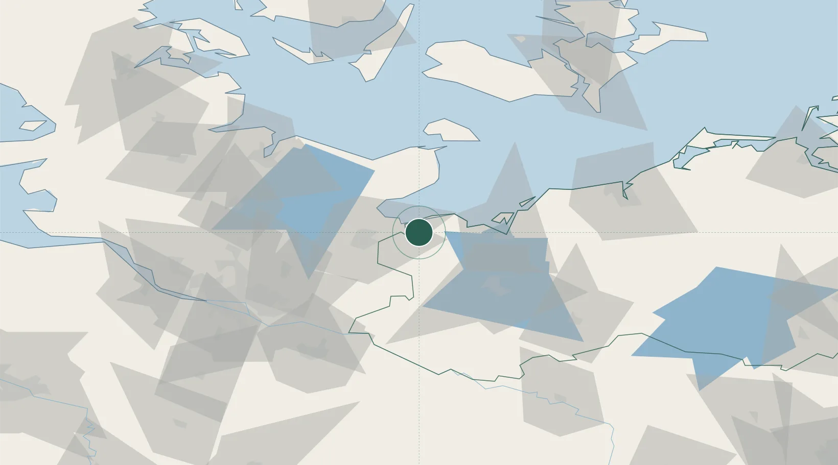
Location
Nearby Logistics Neighbours
Cities
- 1Selmsdorf10 km
- 2Grevesmühlen13 km
- 3Niendorf Ostsee14 km
- 4Lübeck17 km
- 5Wohlenberg18 km
Ports
- 1Lubeck-Travemunde9 km
- 2Lubeck19 km
- 3Neustadt23 km
- 4Wismar32 km
- 5Heiligenhafen50 km
Airports
Trade Zones
DatabookThe Record of Consolidated Knowledge
Germany beyond logistics?