Transport Functions
Rail
Road
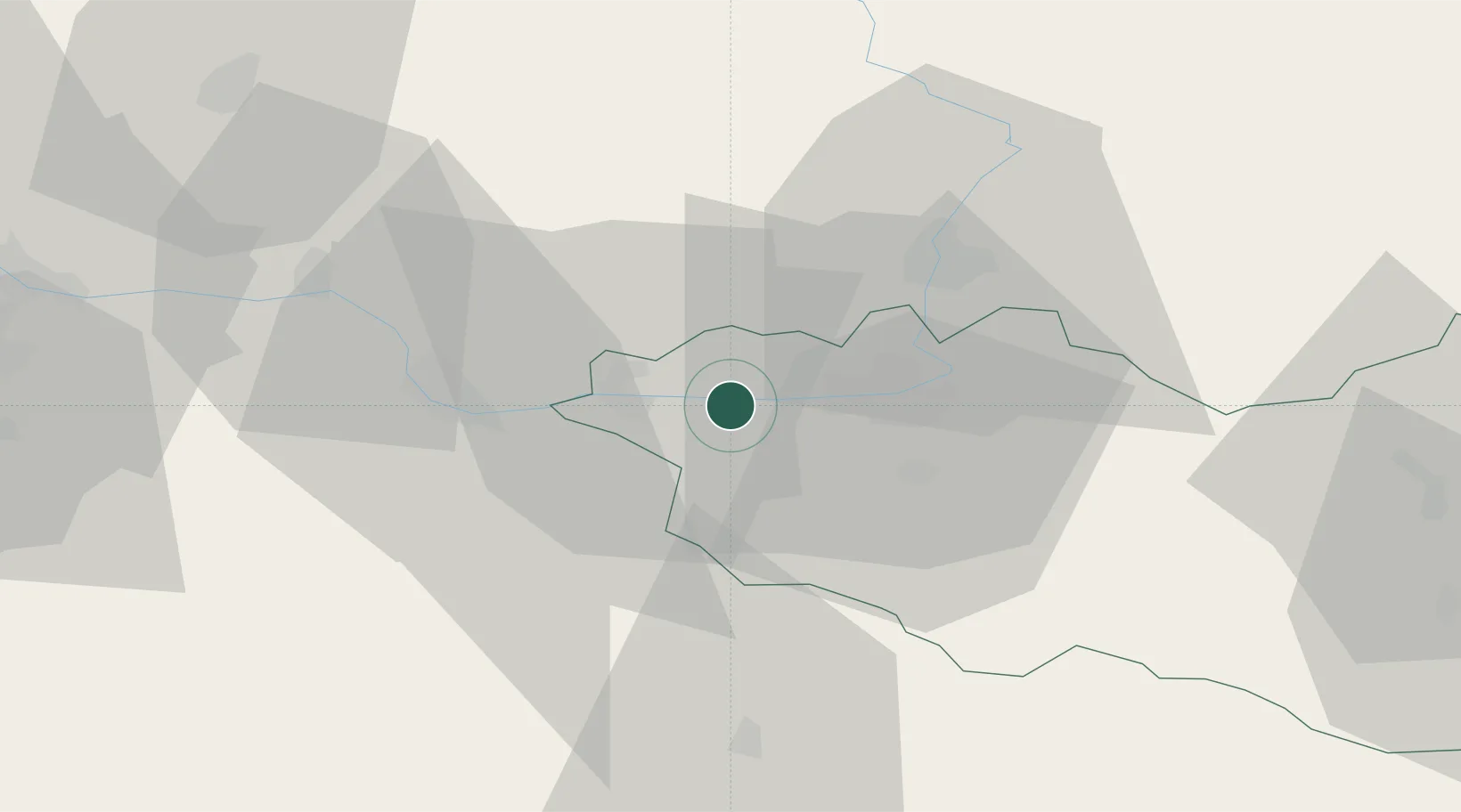
Hub Profile
Place type
Populated place
Region
Pardubický
Population
8,586
Time zone
Europe/Prague
Elevation
222 m
Location
Nearby Logistics Neighbours
Cities
- 1Kladruby Nad Labem6 km
- 2Trnavka7 km
- 3Horusice10 km
- 4Cepi11 km
- 5Osice15 km
Ports
- 1Szczecin383 km
- 2Police399 km
- 3Swinoujscie441 km
- 4Wolgast463 km
- 5Kolobrzeg465 km
Airports
- 1Pardubice Airport13 km
- 2Čáslav Air Base17 km
- 3Kostomlaty Airstrip50 km
- 4Prague–Kbely Air Base74 km
- 5Vodochody Airport86 km
Trade Zones
DatabookThe Record of Consolidated Knowledge
Czechia beyond logistics?