Transport Functions
Port
Multimodal
Hub Profile
Place type
Populated place
Region
Pardubický
Population
200
Time zone
Europe/Prague
Elevation
207 m
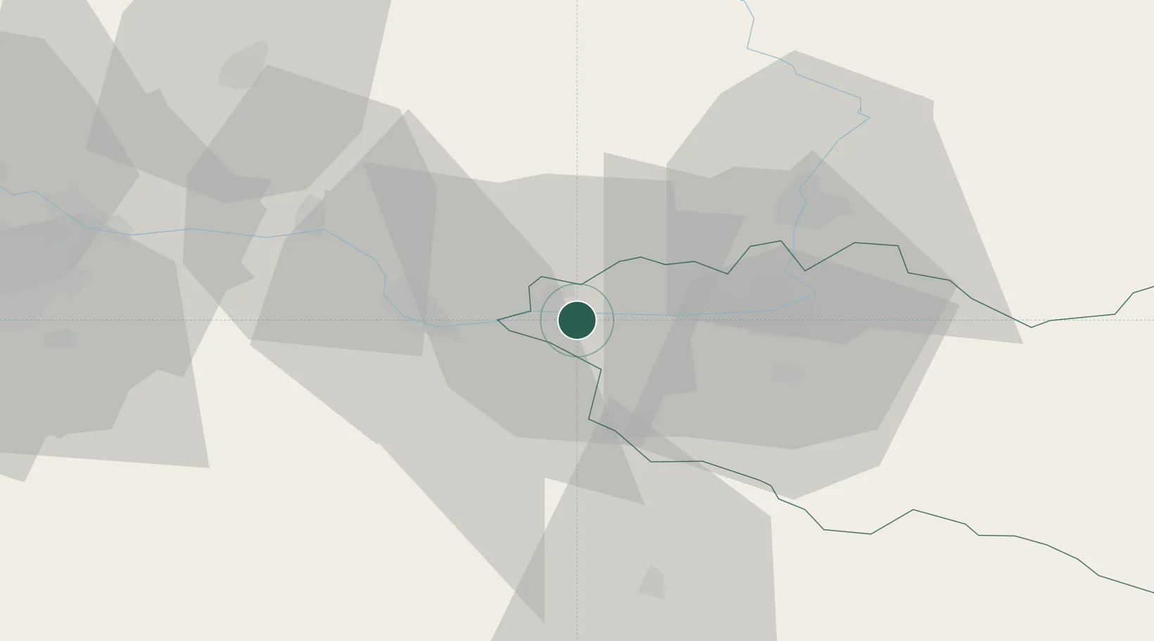
Location
Nearby Logistics Neighbours
Cities
- 1Kladruby Nad Labem2 km
- 2Horusice4 km
- 3Prelouc7 km
- 4Týnec nad Labem8 km
- 5Chlumec nad Cidlinou13 km
Ports
- 1Szczecin382 km
- 2Police398 km
- 3Swinoujscie440 km
- 4Wolgast461 km
- 5Kolobrzeg465 km
Airports
- 1Čáslav Air Base12 km
- 2Pardubice Airport20 km
- 3Kostomlaty Airstrip43 km
- 4Prague–Kbely Air Base67 km
- 5Vodochody Airport79 km
Trade Zones
DatabookThe Record of Consolidated Knowledge
Czechia beyond logistics?