Transport Functions
Port
Road
Hub Profile
Region
ST
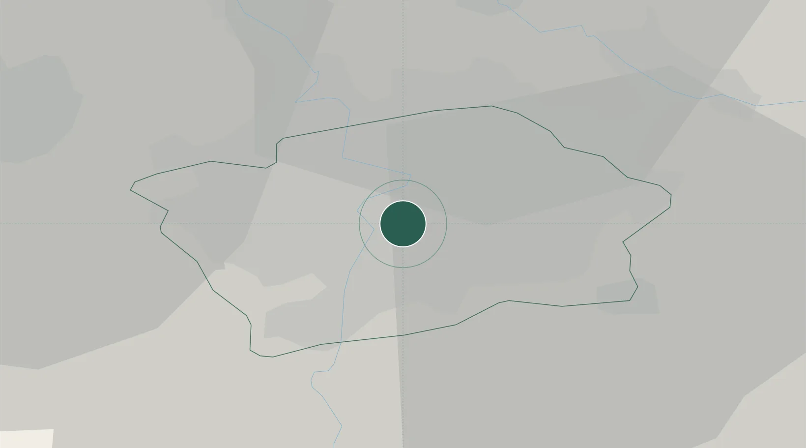
Location
Nearby Logistics Neighbours
Cities
- 1Radnice u Plzne2 km
- 2Most3 km
- 3Smíchov4 km
- 4Praha8 km
- 5Dolni Brezany11 km
Ports
- 1Szczecin373 km
- 2Police389 km
- 3Swinoujscie428 km
- 4Wolgast445 km
- 5Kolobrzeg468 km
Airports
- 1Prague–Kbely Air Base9 km
- 2Václav Havel Airport Prague14 km
- 3Vodochody Airport17 km
- 4Kostomlaty Airstrip37 km
- 5Čáslav Air Base68 km
Trade Zones
DatabookThe Record of Consolidated Knowledge
Czechia beyond logistics?