Transport Functions
Rail
Road
Airport
Postal
Hub Profile
Logistics facilities
9
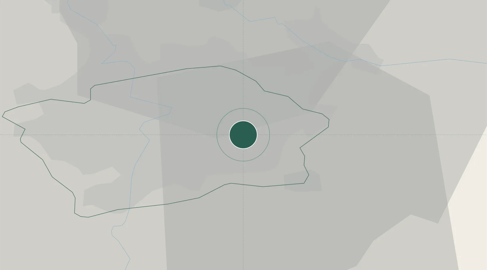
Location
Nearby Logistics Neighbours
Cities
- 1Bechovice4 km
- 2Most7 km
- 3Prague-Vinohrady8 km
- 4Slustice9 km
- 5Radnice u Plzne10 km
Ports
- 1Szczecin372 km
- 2Police389 km
- 3Swinoujscie428 km
- 4Wolgast446 km
- 5Kolobrzeg466 km
Airports
- 1Prague–Kbely Air Base6 km
- 2Vodochody Airport20 km
- 3Václav Havel Airport Prague22 km
- 4Kostomlaty Airstrip30 km
- 5Čáslav Air Base61 km
DatabookThe Record of Consolidated Knowledge
Czechia beyond logistics?