Transport Functions
Multimodal
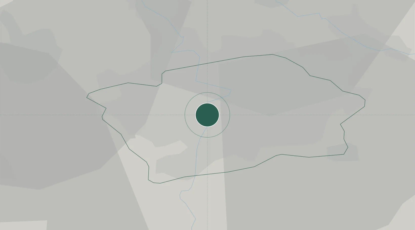
Hub Profile
Region
VY
Location
Nearby Logistics Neighbours
Cities
- 1Smíchov1 km
- 2Prague-Vinohrady2 km
- 3Most5 km
- 4Zlícín10 km
- 5Praha10 km
Ports
- 1Szczecin373 km
- 2Police389 km
- 3Swinoujscie428 km
- 4Wolgast445 km
- 5Kolobrzeg468 km
Airports
- 1Prague–Kbely Air Base11 km
- 2Václav Havel Airport Prague12 km
- 3Vodochody Airport17 km
- 4Kostomlaty Airstrip40 km
- 5Čáslav Air Base70 km
Trade Zones
DatabookThe Record of Consolidated Knowledge
Czechia beyond logistics?