Transport Functions
Multimodal
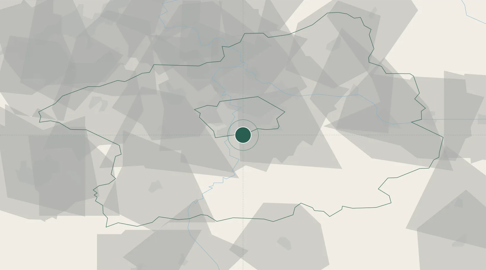
Hub Profile
Place type
Populated place
Region
Central Bohemia
Population
4,735
Time zone
Europe/Prague
Elevation
334 m
Location
Nearby Logistics Neighbours
Cities
- 1Dolní Jircany5 km
- 2Vrané nad Vltavou5 km
- 3Jílové u Prahy8 km
- 4Davle11 km
- 5Prague-Vinohrady11 km
Ports
- 1Szczecin384 km
- 2Police400 km
- 3Swinoujscie439 km
- 4Monfalcone470 km
- 5Nogaro478 km
Airports
- 1Prague–Kbely Air Base18 km
- 2Václav Havel Airport Prague21 km
- 3Vodochody Airport28 km
- 4Kostomlaty Airstrip42 km
- 5Čáslav Air Base66 km
DatabookThe Record of Consolidated Knowledge
Czechia beyond logistics?