Transport Functions
Port
Road
Hub Profile
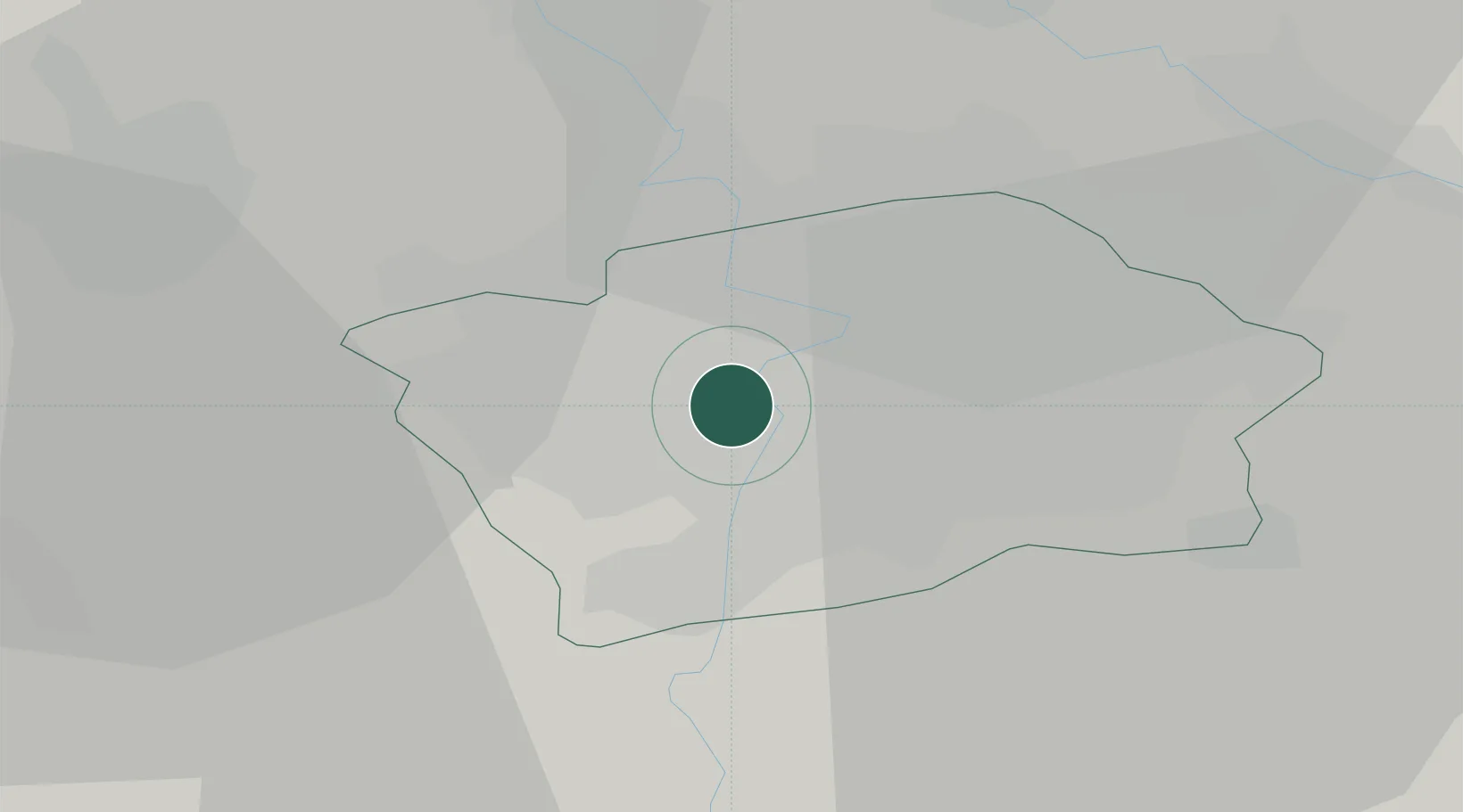
Place type
Urban district
Region
Prague
Population
34,987
Time zone
Europe/Prague
Elevation
199 m
Location
Nearby Logistics Neighbours
Cities
- 1Radnice u Plzne1 km
- 2Prague-Vinohrady4 km
- 3Most6 km
- 4Zlícín8 km
- 5Hostivice10 km
Ports
- 1Szczecin373 km
- 2Police389 km
- 3Swinoujscie428 km
- 4Wolgast445 km
- 5Kolobrzeg468 km
Airports
- 1Václav Havel Airport Prague11 km
- 2Prague–Kbely Air Base12 km
- 3Vodochody Airport17 km
- 4Kostomlaty Airstrip41 km
- 5Čáslav Air Base72 km
Trade Zones
DatabookThe Record of Consolidated Knowledge
Czechia beyond logistics?