Transport Functions
Rail
Road
Hub Profile
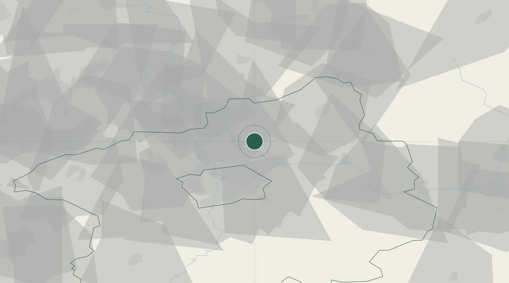
Place type
Populated place
Region
Central Bohemia
Population
2,019
Time zone
Europe/Prague
Elevation
181 m
Location
Nearby Logistics Neighbours
Cities
- 1Ovcáry4 km
- 2Kostelec nad Labem6 km
- 3Neratovice6 km
- 4Drisy7 km
- 5Kojetice8 km
Ports
- 1Szczecin348 km
- 2Police365 km
- 3Swinoujscie405 km
- 4Wolgast423 km
- 5Kolobrzeg442 km
Airports
- 1Vodochody Airport16 km
- 2Prague–Kbely Air Base18 km
- 3Kostomlaty Airstrip25 km
- 4Václav Havel Airport Prague32 km
- 5Čáslav Air Base68 km
Trade Zones
DatabookThe Record of Consolidated Knowledge
Czechia beyond logistics?