UN/LOCODE hub · Czechia
CZKSL
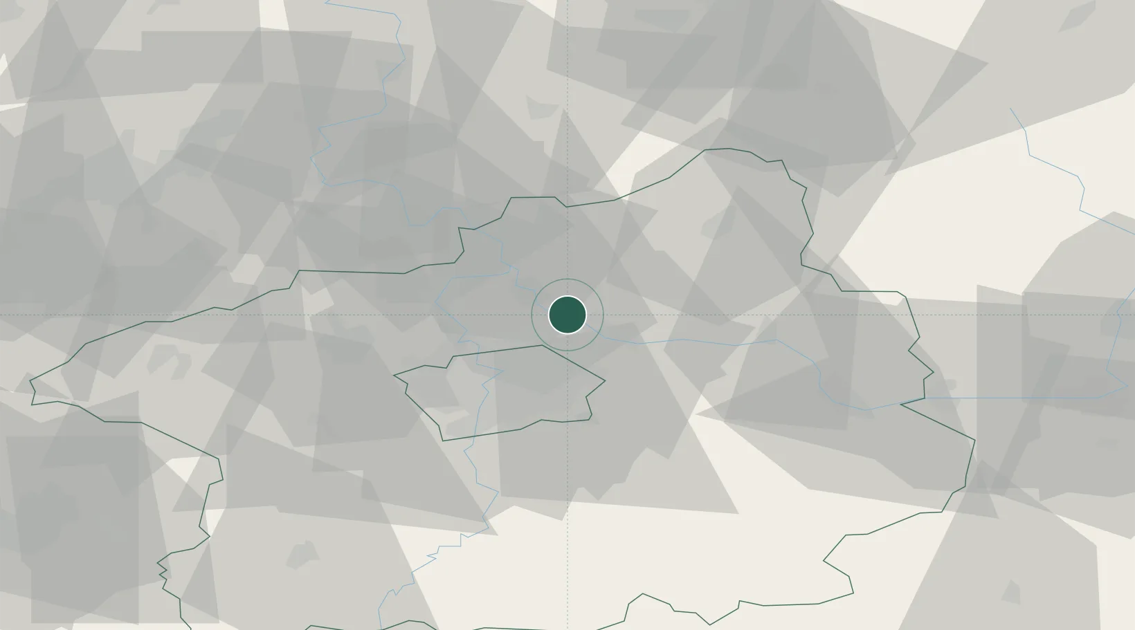
Kostelec nad Labem
50.2333°, 14.6000°
4,462
Population
3
Transport functions
Transport Functions
Port
Rail
Road
Hub Profile
Place type
Populated place
Region
Central Bohemia
Population
4,462
Time zone
Europe/Prague
Elevation
172 m
Location
Nearby Logistics Neighbours
Cities
- 1Ovcáry2 km
- 2Drisy4 km
- 3Vsetaty6 km
- 4Kojetice6 km
- 5Neratovice7 km
Ports
- 1Szczecin354 km
- 2Police371 km
- 3Swinoujscie410 km
- 4Wolgast428 km
- 5Kolobrzeg448 km
Airports
- 1Prague–Kbely Air Base13 km
- 2Vodochody Airport15 km
- 3Kostomlaty Airstrip23 km
- 4Václav Havel Airport Prague28 km
- 5Čáslav Air Base65 km
Trade Zones
DatabookThe Record of Consolidated Knowledge
Czechia beyond logistics?