Transport Functions
Road
Multimodal
Hub Profile
Place type
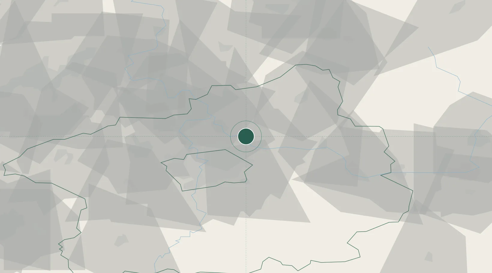
Populated place
Region
Central Bohemia
Population
746
Time zone
Europe/Prague
Elevation
174 m
Location
Nearby Logistics Neighbours
Cities
- 1Ovcáry3 km
- 2Kostelec nad Labem4 km
- 3Vsetaty7 km
- 4Nový Vestec7 km
- 5Kojetice10 km
Ports
- 1Szczecin354 km
- 2Police371 km
- 3Swinoujscie410 km
- 4Wolgast429 km
- 5Kolobrzeg447 km
Airports
- 1Prague–Kbely Air Base15 km
- 2Vodochody Airport18 km
- 3Kostomlaty Airstrip20 km
- 4Václav Havel Airport Prague31 km
- 5Čáslav Air Base62 km
DatabookThe Record of Consolidated Knowledge
Czechia beyond logistics?