Transport Functions
Port
Rail
Road
Hub Profile
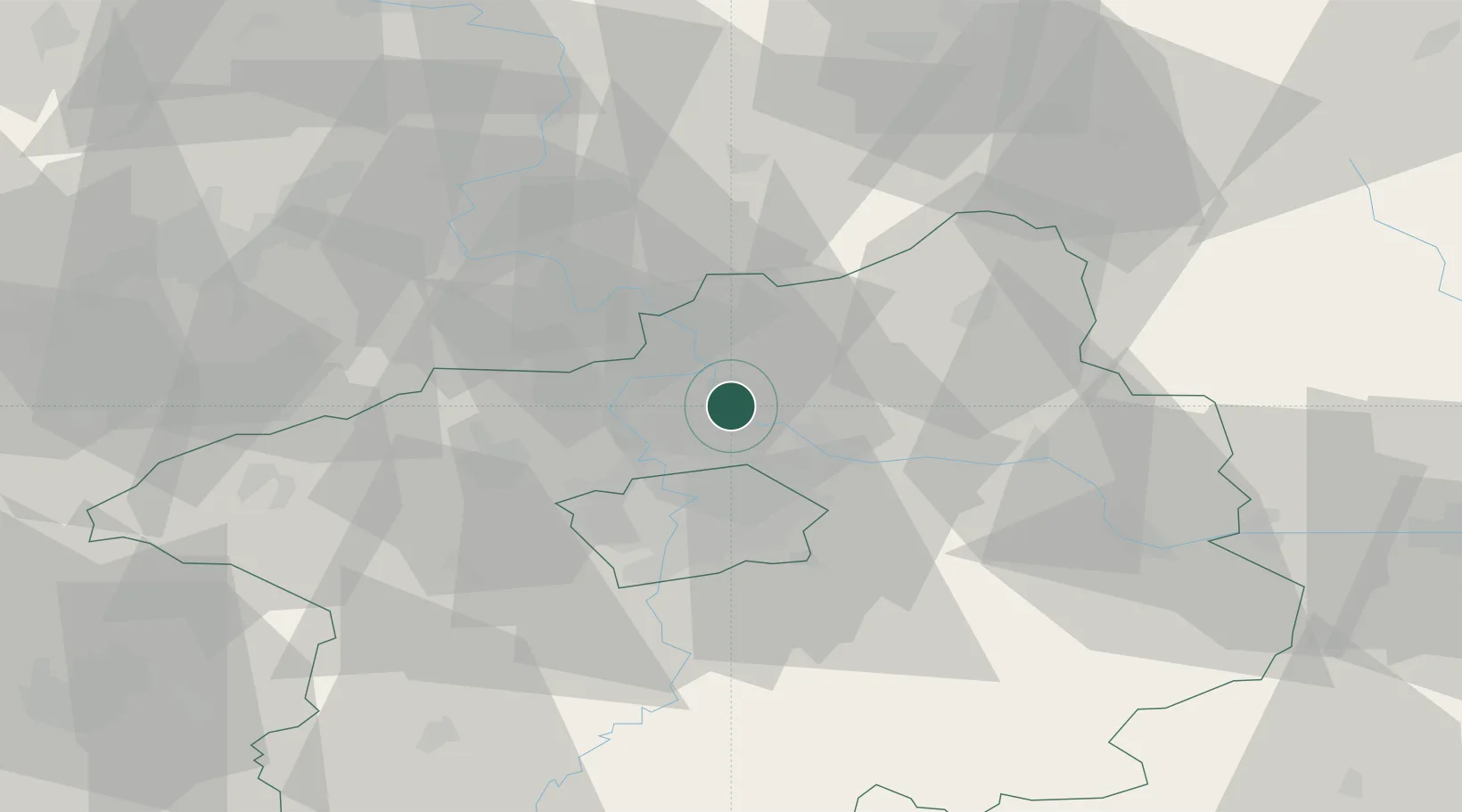
Place type
Populated place
Region
Central Bohemia
Population
16,427
Time zone
Europe/Prague
Elevation
170 m
Location
Nearby Logistics Neighbours
Cities
- 1Kojetice4 km
- 2Vsetaty6 km
- 3Kostelec nad Labem7 km
- 4Ovcáry7 km
- 5Klícany10 km
Ports
- 1Szczecin350 km
- 2Police367 km
- 3Swinoujscie406 km
- 4Wolgast424 km
- 5Kolobrzeg445 km
Airports
- 1Vodochody Airport10 km
- 2Prague–Kbely Air Base16 km
- 3Václav Havel Airport Prague26 km
- 4Kostomlaty Airstrip30 km
- 5Čáslav Air Base72 km
Trade Zones
DatabookThe Record of Consolidated Knowledge
Czechia beyond logistics?