Transport Functions
Rail
Road
Hub Profile
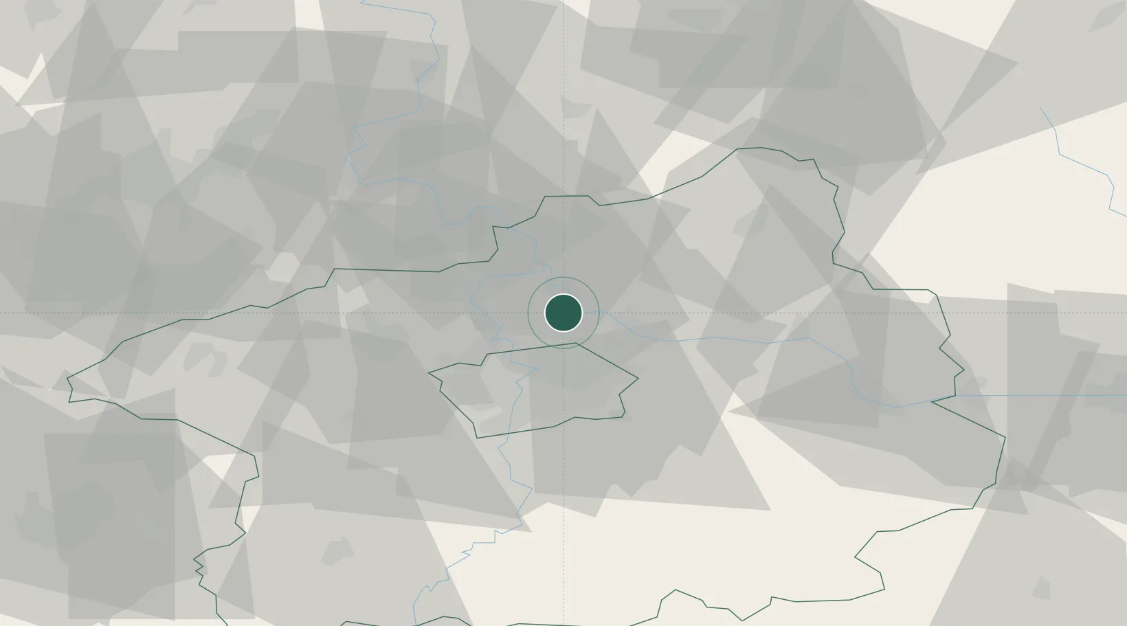
Place type
Populated place
Region
Central Bohemia
Population
620
Time zone
Europe/Prague
Elevation
185 m
Location
Nearby Logistics Neighbours
Cities
- 1Neratovice4 km
- 2Kostelec nad Labem6 km
- 3Klícany7 km
- 4Ovcáry7 km
- 5Vsetaty8 km
Ports
- 1Szczecin354 km
- 2Police371 km
- 3Swinoujscie410 km
- 4Wolgast427 km
- 5Kolobrzeg449 km
Airports
- 1Vodochody Airport9 km
- 2Prague–Kbely Air Base13 km
- 3Václav Havel Airport Prague24 km
- 4Kostomlaty Airstrip29 km
- 5Čáslav Air Base70 km
Trade Zones
DatabookThe Record of Consolidated Knowledge
Czechia beyond logistics?