Transport Functions
Port
Rail
Road
Hub Profile
Place type
Populated place
Region
Pardubický
Population
9,008
Time zone
Europe/Prague
Elevation
291 m
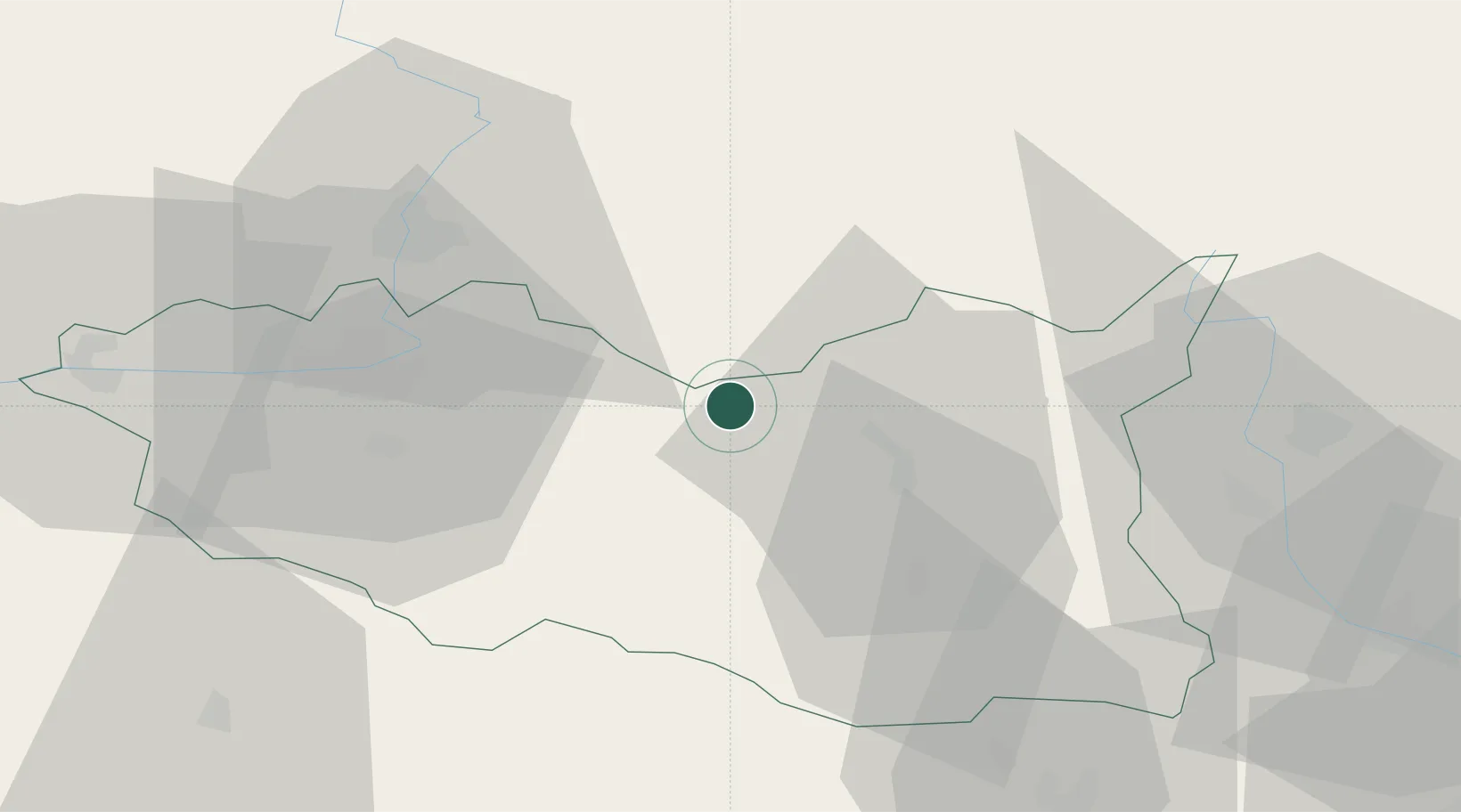
Location
Nearby Logistics Neighbours
Cities
- 1Vysoké Myto7 km
- 2Cerekvice nad Loucnou11 km
- 3Doudleby nad Orlicí11 km
- 4Vamberk12 km
- 5Pisecna u Jeseniku16 km
Ports
- 1Szczecin397 km
- 2Police413 km
- 3Swinoujscie456 km
- 4Kolobrzeg471 km
- 5Wolgast481 km
Airports
- 1Pardubice Airport35 km
- 2Čáslav Air Base61 km
- 3Náměšť Air Base93 km
- 4Kostomlaty Airstrip96 km
- 5Brno-Tuřany Airport100 km
Trade Zones
DatabookThe Record of Consolidated Knowledge
Czechia beyond logistics?