Transport Functions
Multimodal
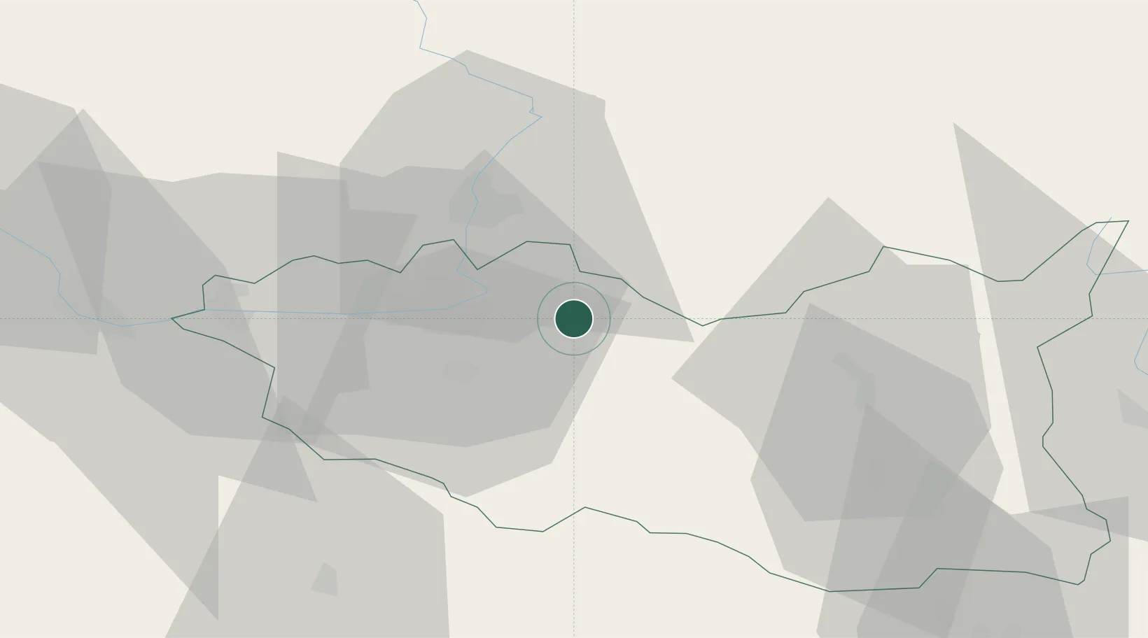
Hub Profile
Place type
Populated place
Region
Pardubický
Population
1,899
Time zone
Europe/Prague
Elevation
232 m
Location
Nearby Logistics Neighbours
Cities
- 1Moravany4 km
- 2Dasice5 km
- 3Hostovice9 km
- 4Borek14 km
- 5Staré Hradiste15 km
Ports
- 1Szczecin389 km
- 2Police405 km
- 3Swinoujscie448 km
- 4Kolobrzeg466 km
- 5Wolgast471 km
Airports
- 1Pardubice Airport18 km
- 2Čáslav Air Base44 km
- 3Kostomlaty Airstrip78 km
- 4Náměšť Air Base97 km
- 5Prague–Kbely Air Base103 km
Trade Zones
DatabookThe Record of Consolidated Knowledge
Czechia beyond logistics?