Transport Functions
Multimodal
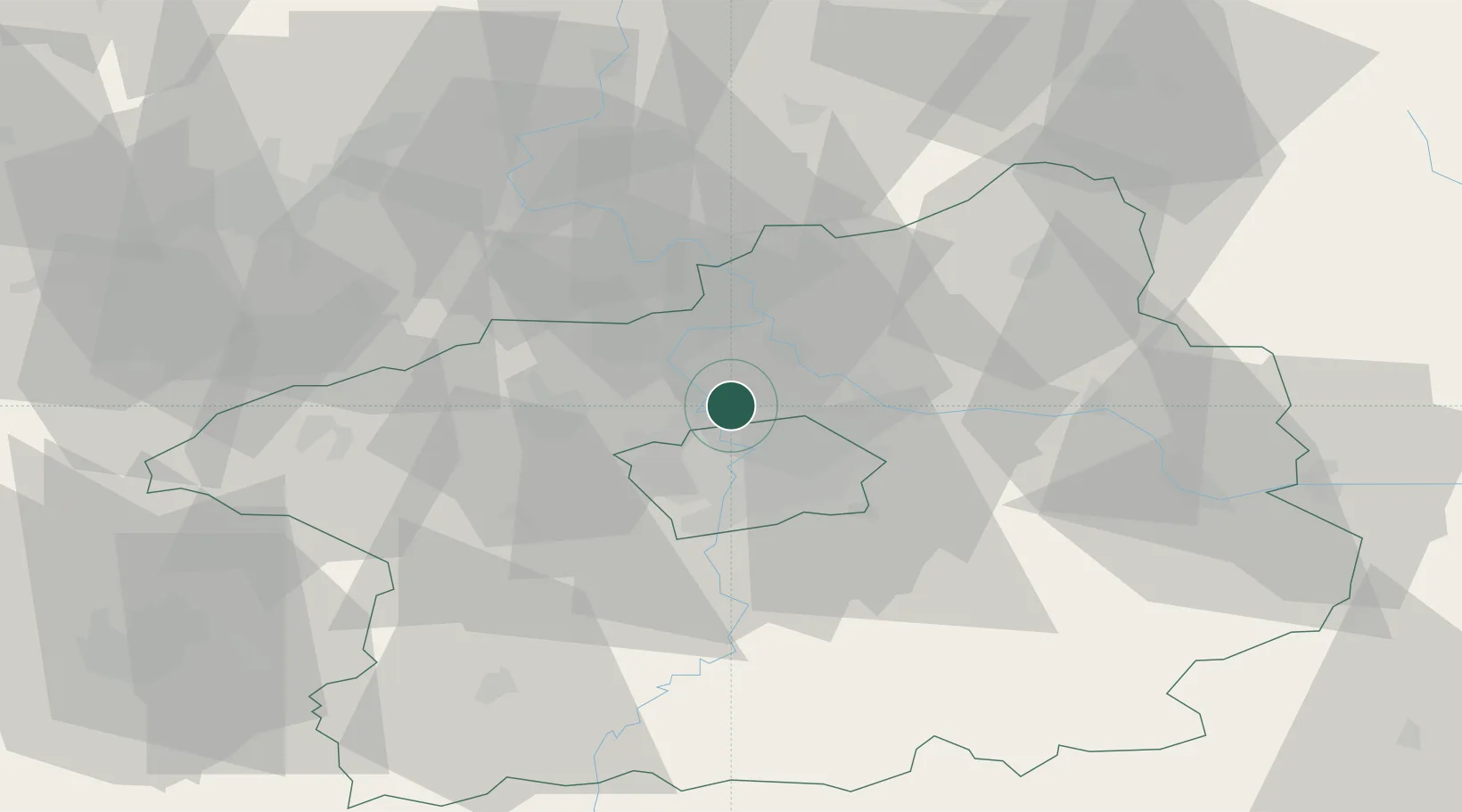
Hub Profile
Place type
Populated place
Region
Central Bohemia
Population
3,938
Time zone
Europe/Prague
Elevation
249 m
Location
Nearby Logistics Neighbours
Cities
- 1Klícany2 km
- 2Roztoky2 km
- 3Tursko6 km
- 4Kralupy nad Vltavou9 km
- 5Kojetice9 km
Ports
- 1Szczecin360 km
- 2Police376 km
- 3Swinoujscie415 km
- 4Wolgast432 km
- 5Kolobrzeg455 km
Airports
- 1Vodochody Airport4 km
- 2Prague–Kbely Air Base11 km
- 3Václav Havel Airport Prague15 km
- 4Kostomlaty Airstrip36 km
- 5Čáslav Air Base74 km
Trade Zones
DatabookThe Record of Consolidated Knowledge
Czechia beyond logistics?