Transport Functions
Rail
Road
Hub Profile
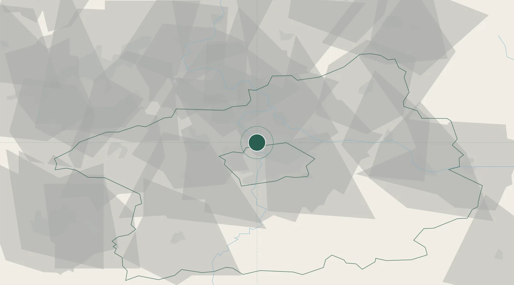
Place type
Populated place
Region
Central Bohemia
Population
9,088
Time zone
Europe/Prague
Elevation
237 m
Location
Nearby Logistics Neighbours
Cities
- 1Klecany2 km
- 2Klícany4 km
- 3Tursko6 km
- 4Svrkyne9 km
- 5Tuchomerice9 km
Ports
- 1Szczecin362 km
- 2Police378 km
- 3Swinoujscie417 km
- 4Wolgast434 km
- 5Kolobrzeg457 km
Airports
- 1Vodochody Airport6 km
- 2Prague–Kbely Air Base11 km
- 3Václav Havel Airport Prague12 km
- 4Kostomlaty Airstrip38 km
- 5Čáslav Air Base75 km
Trade Zones
DatabookThe Record of Consolidated Knowledge
Czechia beyond logistics?