Transport Functions
Rail
Road
Airport
Hub Profile
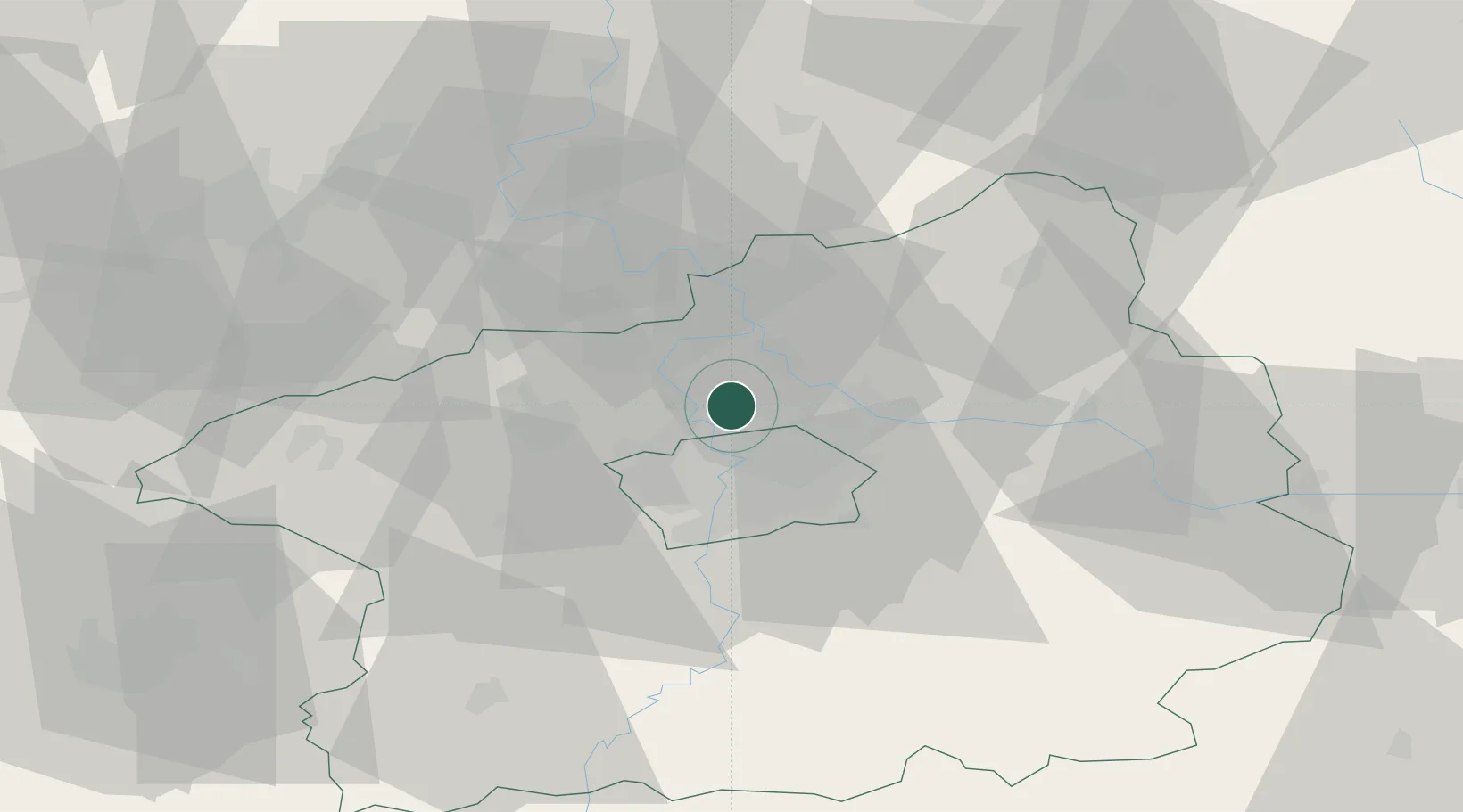
Place type
Populated place
Region
Central Bohemia
Population
294
Time zone
Europe/Prague
Elevation
274 m
Location
Nearby Logistics Neighbours
Cities
- 1Klecany2 km
- 2Roztoky4 km
- 3Kojetice7 km
- 4Tursko7 km
- 5Kralupy nad Vltavou9 km
Ports
- 1Szczecin358 km
- 2Police375 km
- 3Swinoujscie413 km
- 4Wolgast430 km
- 5Kolobrzeg453 km
Airports
- 1Vodochody Airport3 km
- 2Prague–Kbely Air Base12 km
- 3Václav Havel Airport Prague17 km
- 4Kostomlaty Airstrip35 km
- 5Čáslav Air Base74 km
Trade Zones
DatabookThe Record of Consolidated Knowledge
Czechia beyond logistics?