Transport Functions
Multimodal
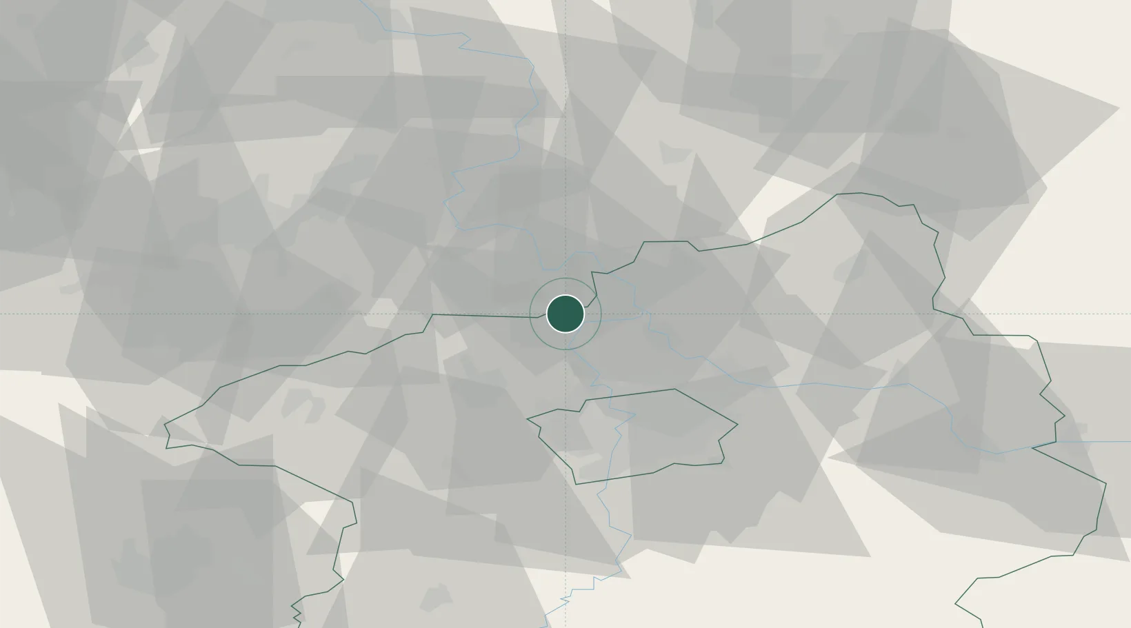
Hub Profile
Place type
Populated place
Region
Central Bohemia
Population
565
Time zone
Europe/Prague
Elevation
240 m
Location
Nearby Logistics Neighbours
Cities
- 1Straskov6 km
- 2Nelahozeves7 km
- 3Dolní Berkovice11 km
- 4Horni Pocaply11 km
- 5Kralupy nad Vltavou11 km
Ports
- 1Szczecin343 km
- 2Police360 km
- 3Swinoujscie399 km
- 4Wolgast415 km
- 5Kolobrzeg440 km
Airports
- 1Vodochody Airport15 km
- 2Václav Havel Airport Prague26 km
- 3Prague–Kbely Air Base29 km
- 4Kostomlaty Airstrip47 km
- 5Čáslav Air Base89 km
Trade Zones
DatabookThe Record of Consolidated Knowledge
Czechia beyond logistics?