Transport Functions
Multimodal
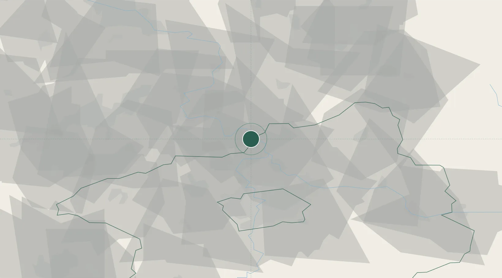
Hub Profile
Place type
Populated place
Region
Central Bohemia
Population
1,141
Time zone
Europe/Prague
Elevation
163 m
Location
Nearby Logistics Neighbours
Cities
- 1Stetí4 km
- 2Dolní Berkovice5 km
- 3Melník8 km
- 4Melnik8 km
- 5Ledcice11 km
Ports
- 1Szczecin334 km
- 2Police351 km
- 3Swinoujscie389 km
- 4Wolgast406 km
- 5Kolobrzeg430 km
Airports
- 1Vodochody Airport22 km
- 2Prague–Kbely Air Base35 km
- 3Václav Havel Airport Prague36 km
- 4Kostomlaty Airstrip45 km
- 5Čáslav Air Base89 km
Trade Zones
DatabookThe Record of Consolidated Knowledge
Czechia beyond logistics?