UN/LOCODE hub · Czechia
CZSTO
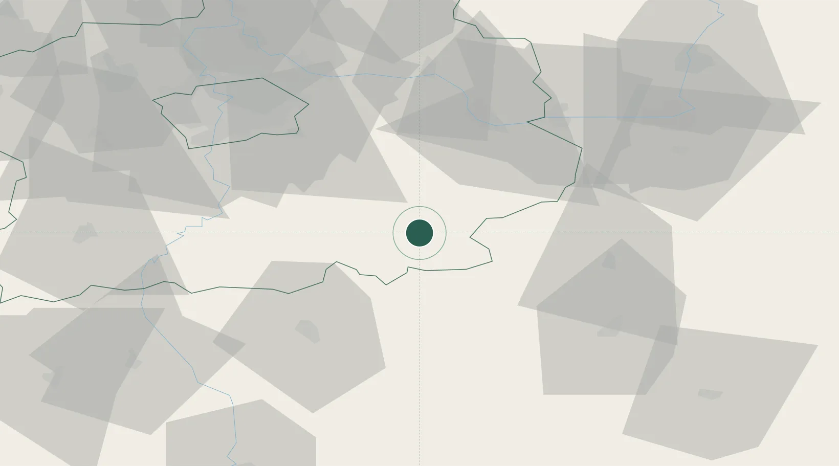
Trhovy Stepanov
49.7000°, 15.0167°
1,260
Population
1
Transport functions
Transport Functions
Multimodal
Hub Profile
Place type
Populated place
Region
Central Bohemia
Population
1,260
Time zone
Europe/Prague
Elevation
416 m
Location
Nearby Logistics Neighbours
Cities
- 1Divisov13 km
- 2Zbraslavice18 km
- 3Ledec nad Sázavou19 km
- 4Sázava20 km
- 5Uhlirske Janovice21 km
Ports
- 1Szczecin415 km
- 2Police431 km
- 3Monfalcone449 km
- 4Nogaro460 km
- 5Trieste460 km
Airports
- 1Čáslav Air Base37 km
- 2Kostomlaty Airstrip57 km
- 3Prague–Kbely Air Base58 km
- 4Pardubice Airport63 km
- 5Václav Havel Airport Prague70 km
Trade Zones
DatabookThe Record of Consolidated Knowledge
Czechia beyond logistics?