Transport Functions
Multimodal
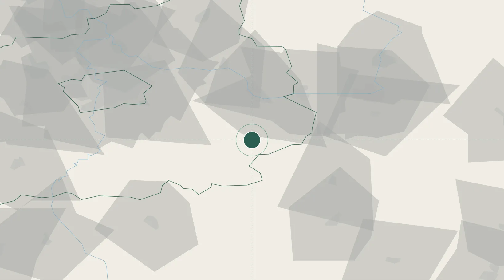
Hub Profile
Place type
Populated place
Region
Central Bohemia
Population
1,378
Time zone
Europe/Prague
Elevation
504 m
Location
Nearby Logistics Neighbours
Cities
- 1Kralice6 km
- 2Korotice8 km
- 3Uhlirske Janovice11 km
- 4Ledec nad Sázavou15 km
- 5Kutná Hora16 km
Ports
- 1Szczecin403 km
- 2Police419 km
- 3Swinoujscie460 km
- 4Monfalcone465 km
- 5Trieste476 km
Airports
- 1Čáslav Air Base20 km
- 2Pardubice Airport46 km
- 3Kostomlaty Airstrip47 km
- 4Prague–Kbely Air Base57 km
- 5Vodochody Airport72 km
Trade Zones
DatabookThe Record of Consolidated Knowledge
Czechia beyond logistics?