Transport Functions
Rail
Road
Hub Profile
Place type
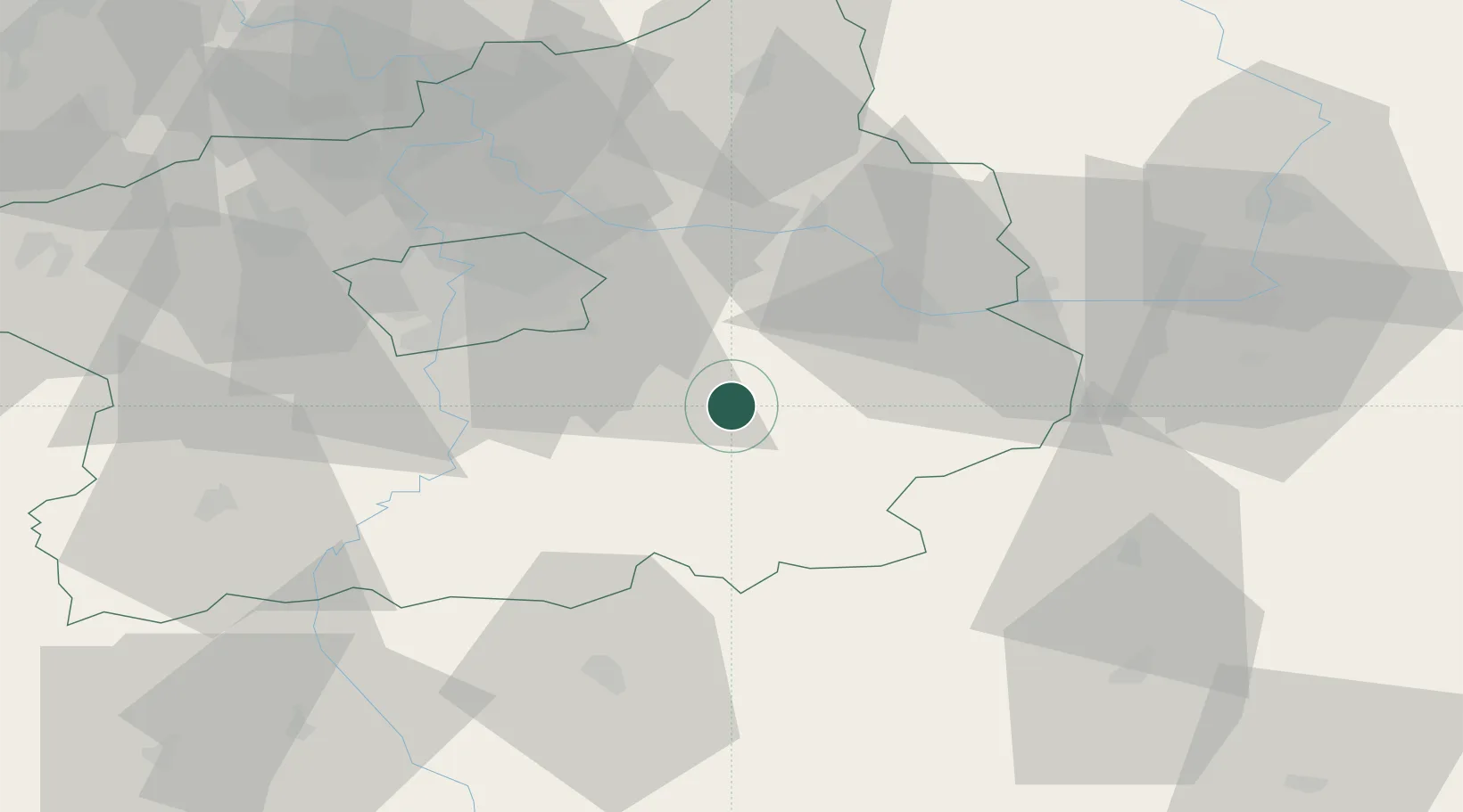
Populated place
Region
Central Bohemia
Population
3,797
Time zone
Europe/Prague
Elevation
291 m
Location
Nearby Logistics Neighbours
Cities
- 1Stribrna Skalice5 km
- 2Chocerady7 km
- 3Divisov9 km
- 4Zdánice (Kolín)12 km
- 5Uhlirske Janovice12 km
Ports
- 1Szczecin396 km
- 2Police412 km
- 3Swinoujscie452 km
- 4Monfalcone465 km
- 5Nogaro475 km
Airports
- 1Čáslav Air Base35 km
- 2Kostomlaty Airstrip38 km
- 3Prague–Kbely Air Base38 km
- 4Václav Havel Airport Prague53 km
- 5Vodochody Airport53 km
Trade Zones
DatabookThe Record of Consolidated Knowledge
Czechia beyond logistics?