Transport Functions
Port
Road
Multimodal
Hub Profile
Place type
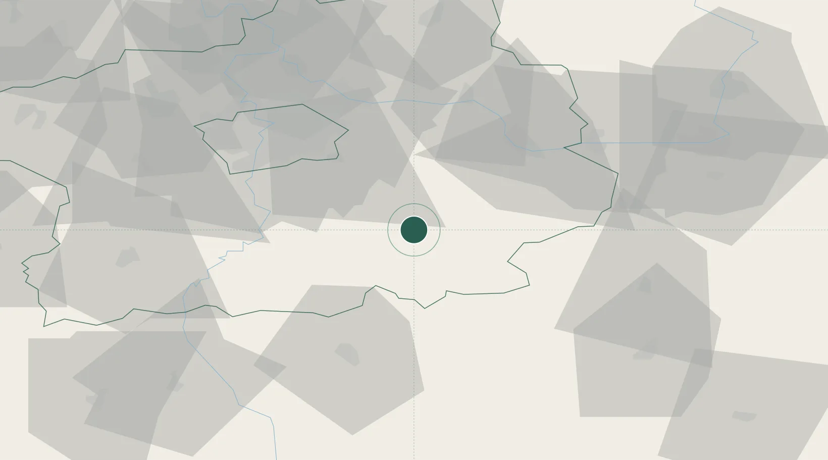
Populated place
Region
Central Bohemia
Population
1,367
Time zone
Europe/Prague
Elevation
468 m
Location
Nearby Logistics Neighbours
Cities
- 1Sázava9 km
- 2Chocerady13 km
- 3Stribrna Skalice13 km
- 4Trhovy Stepanov13 km
- 5Uhlirske Janovice17 km
Ports
- 1Szczecin405 km
- 2Police421 km
- 3Monfalcone456 km
- 4Swinoujscie462 km
- 5Nogaro466 km
Airports
- 1Čáslav Air Base40 km
- 2Prague–Kbely Air Base45 km
- 3Kostomlaty Airstrip47 km
- 4Václav Havel Airport Prague57 km
- 5Vodochody Airport60 km
Trade Zones
DatabookThe Record of Consolidated Knowledge
Czechia beyond logistics?