Transport Functions
Rail
Road
Hub Profile
Place type
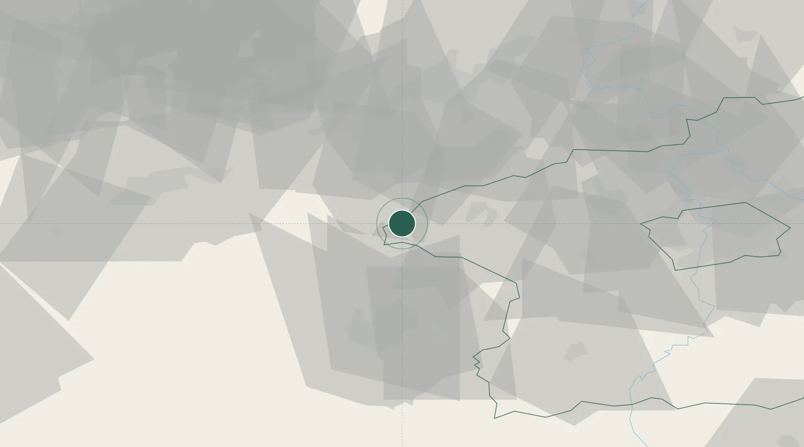
Populated place
Region
Central Bohemia
Population
1,635
Time zone
Europe/Prague
Elevation
464 m
Location
Nearby Logistics Neighbours
Ports
- 1Szczecin376 km
- 2Police393 km
- 3Swinoujscie428 km
- 4Wolgast440 km
- 5Wismar444 km
Airports
- 1Karlovy Vary Airport41 km
- 2Plzeň-Líně Airport49 km
- 3Václav Havel Airport Prague57 km
- 4Vodochody Airport67 km
- 5Prague–Kbely Air Base77 km
Trade Zones
DatabookThe Record of Consolidated Knowledge
Czechia beyond logistics?