Transport Functions
Rail
Road
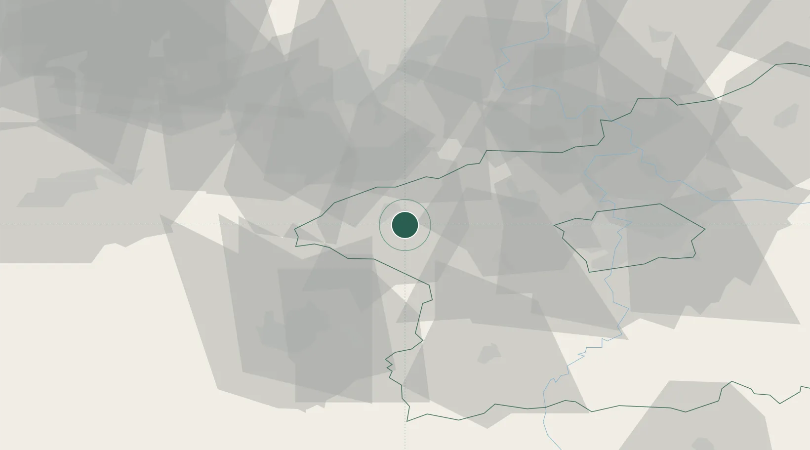
Hub Profile
Place type
Populated place
Region
Central Bohemia
Population
15,682
Time zone
Europe/Prague
Elevation
322 m
Location
Nearby Logistics Neighbours
Ports
- 1Szczecin373 km
- 2Police390 km
- 3Swinoujscie426 km
- 4Wolgast439 km
- 5Wismar451 km
Airports
- 1Václav Havel Airport Prague36 km
- 2Vodochody Airport48 km
- 3Prague–Kbely Air Base57 km
- 4Plzeň-Líně Airport58 km
- 5Karlovy Vary Airport61 km
Trade Zones
DatabookThe Record of Consolidated Knowledge
Czechia beyond logistics?