UN/LOCODE hub · Czechia
CZBBE
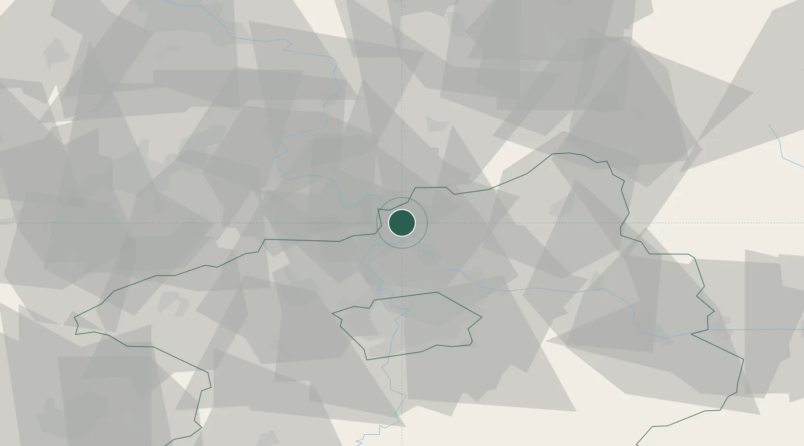
Dolní Berkovice
50.3833°, 14.4333°
1,546
Population
3
Transport functions
Transport Functions
Port
Rail
Road
Hub Profile
Place type
Populated place
Region
Central Bohemia
Population
1,546
Time zone
Europe/Prague
Elevation
163 m
Location
Nearby Logistics Neighbours
Cities
- 1Melník2 km
- 2Melnik3 km
- 3Horni Pocaply5 km
- 4Stetí8 km
- 5Ledcice11 km
Ports
- 1Szczecin337 km
- 2Police354 km
- 3Swinoujscie393 km
- 4Wolgast410 km
- 5Kolobrzeg433 km
Airports
- 1Vodochody Airport19 km
- 2Prague–Kbely Air Base30 km
- 3Václav Havel Airport Prague34 km
- 4Kostomlaty Airstrip40 km
- 5Čáslav Air Base84 km
Trade Zones
DatabookThe Record of Consolidated Knowledge
Czechia beyond logistics?