Transport Functions
Road
Multimodal
Hub Profile
Place type
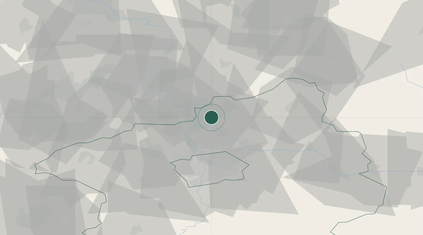
Populated place
Region
Central Bohemia
Population
19,231
Time zone
Europe/Prague
Elevation
219 m
Logistics facilities
1
Location
Nearby Logistics Neighbours
Cities
- 1Melnik1 km
- 2Dolní Berkovice2 km
- 3Horni Pocaply8 km
- 4Stetí11 km
- 5Ledcice12 km
Ports
- 1Szczecin339 km
- 2Police356 km
- 3Swinoujscie395 km
- 4Wolgast412 km
- 5Kolobrzeg434 km
Airports
- 1Vodochody Airport18 km
- 2Prague–Kbely Air Base28 km
- 3Václav Havel Airport Prague33 km
- 4Kostomlaty Airstrip38 km
- 5Čáslav Air Base81 km
Trade Zones
DatabookThe Record of Consolidated Knowledge
Czechia beyond logistics?