Transport Functions
Rail
Road
Hub Profile
Place type
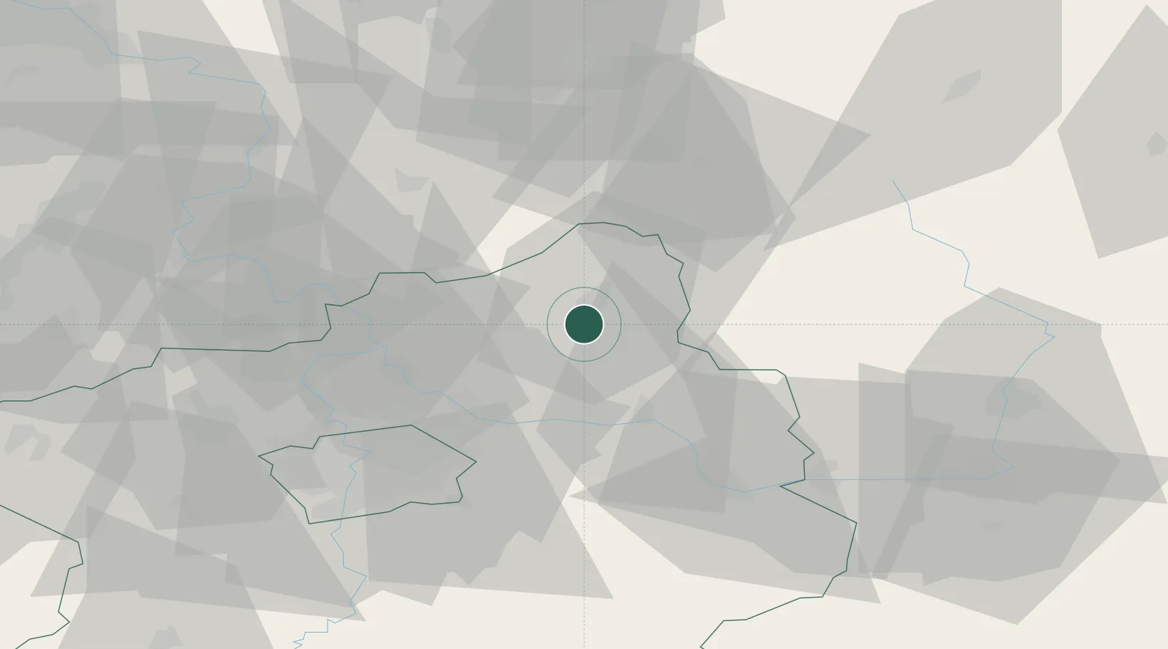
Populated place
Region
Central Bohemia
Population
321
Time zone
Europe/Prague
Elevation
230 m
Location
Nearby Logistics Neighbours
Cities
- 1Dobrovice3 km
- 2Mladá Boleslav4 km
- 3Dolní Cetno7 km
- 4Lustenice8 km
- 5Sukorady10 km
Ports
- 1Szczecin338 km
- 2Police355 km
- 3Swinoujscie395 km
- 4Wolgast415 km
- 5Kolobrzeg428 km
Airports
- 1Kostomlaty Airstrip20 km
- 2Prague–Kbely Air Base39 km
- 3Vodochody Airport41 km
- 4Václav Havel Airport Prague56 km
- 5Čáslav Air Base59 km
Trade Zones
DatabookThe Record of Consolidated Knowledge
Czechia beyond logistics?