UN/LOCODE hub · Czechia
CZMBV
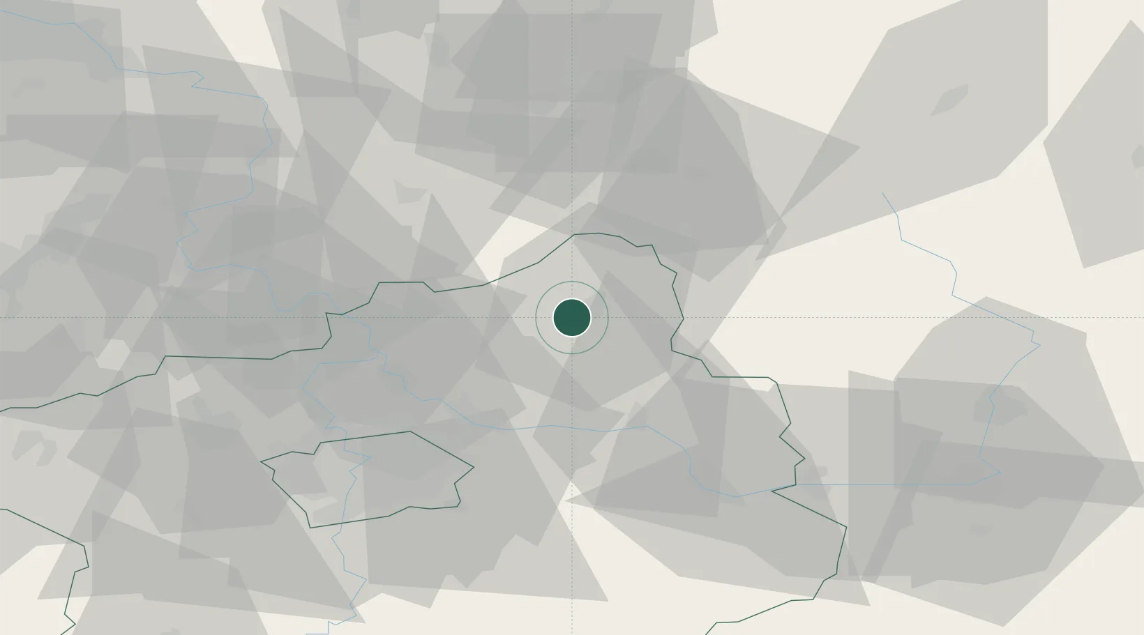
Mladá Boleslav
50.4167°, 14.9000°
43,684
Population
2
Transport functions
Transport Functions
Rail
Road
Hub Profile
Place type
Populated place
Region
Central Bohemia
Population
43,684
Time zone
Europe/Prague
Elevation
241 m
Location
Nearby Logistics Neighbours
Cities
- 1Neprevázka4 km
- 2Dolní Cetno6 km
- 3Dobrovice7 km
- 4Bakov nad Jizerou8 km
- 5Sukorady10 km
Ports
- 1Szczecin334 km
- 2Police351 km
- 3Swinoujscie392 km
- 4Wolgast411 km
- 5Kolobrzeg425 km
Airports
- 1Kostomlaty Airstrip23 km
- 2Prague–Kbely Air Base42 km
- 3Vodochody Airport42 km
- 4Václav Havel Airport Prague58 km
- 5Čáslav Air Base63 km
Trade Zones
DatabookThe Record of Consolidated Knowledge
Czechia beyond logistics?