Transport Functions
Road
Multimodal
Hub Profile
Place type
Populated place
Region
Central Bohemia
Population
279
Time zone
Europe/Prague
Elevation
220 m
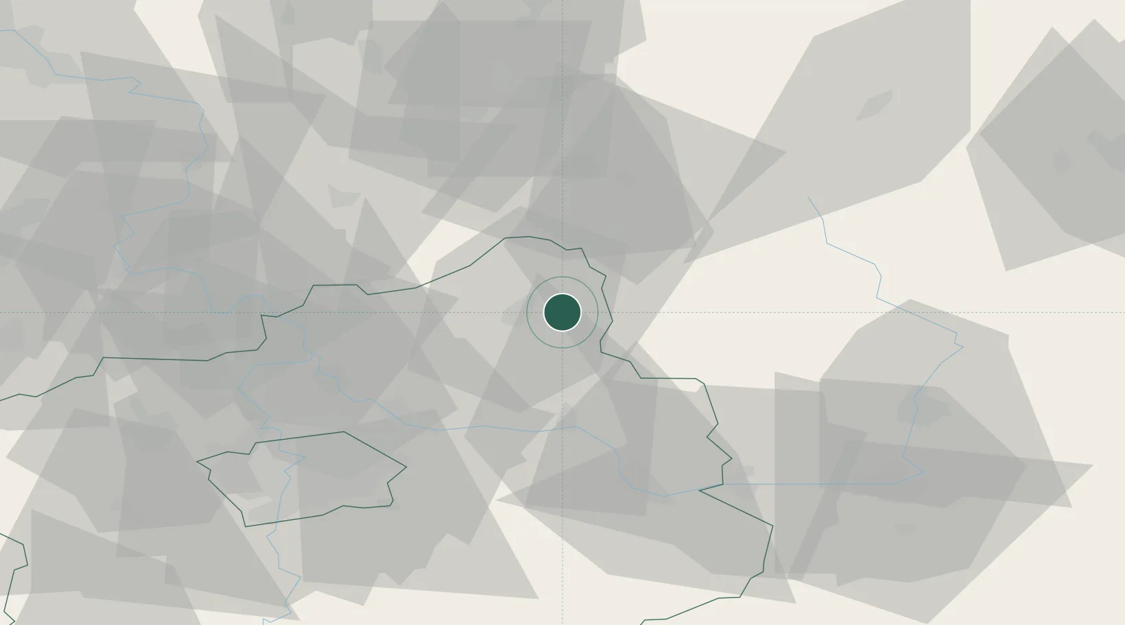
Location
Nearby Logistics Neighbours
Cities
- 1Bakov nad Jizerou9 km
- 2Dobrovice10 km
- 3Mladá Boleslav10 km
- 4Neprevázka10 km
- 5Libosovice11 km
Ports
- 1Szczecin333 km
- 2Police350 km
- 3Swinoujscie391 km
- 4Wolgast411 km
- 5Kolobrzeg422 km
Airports
- 1Kostomlaty Airstrip26 km
- 2Prague–Kbely Air Base49 km
- 3Vodochody Airport51 km
- 4Čáslav Air Base60 km
- 5Václav Havel Airport Prague66 km
Trade Zones
DatabookThe Record of Consolidated Knowledge
Czechia beyond logistics?