Transport Functions
Rail
Road
Hub Profile
Place type
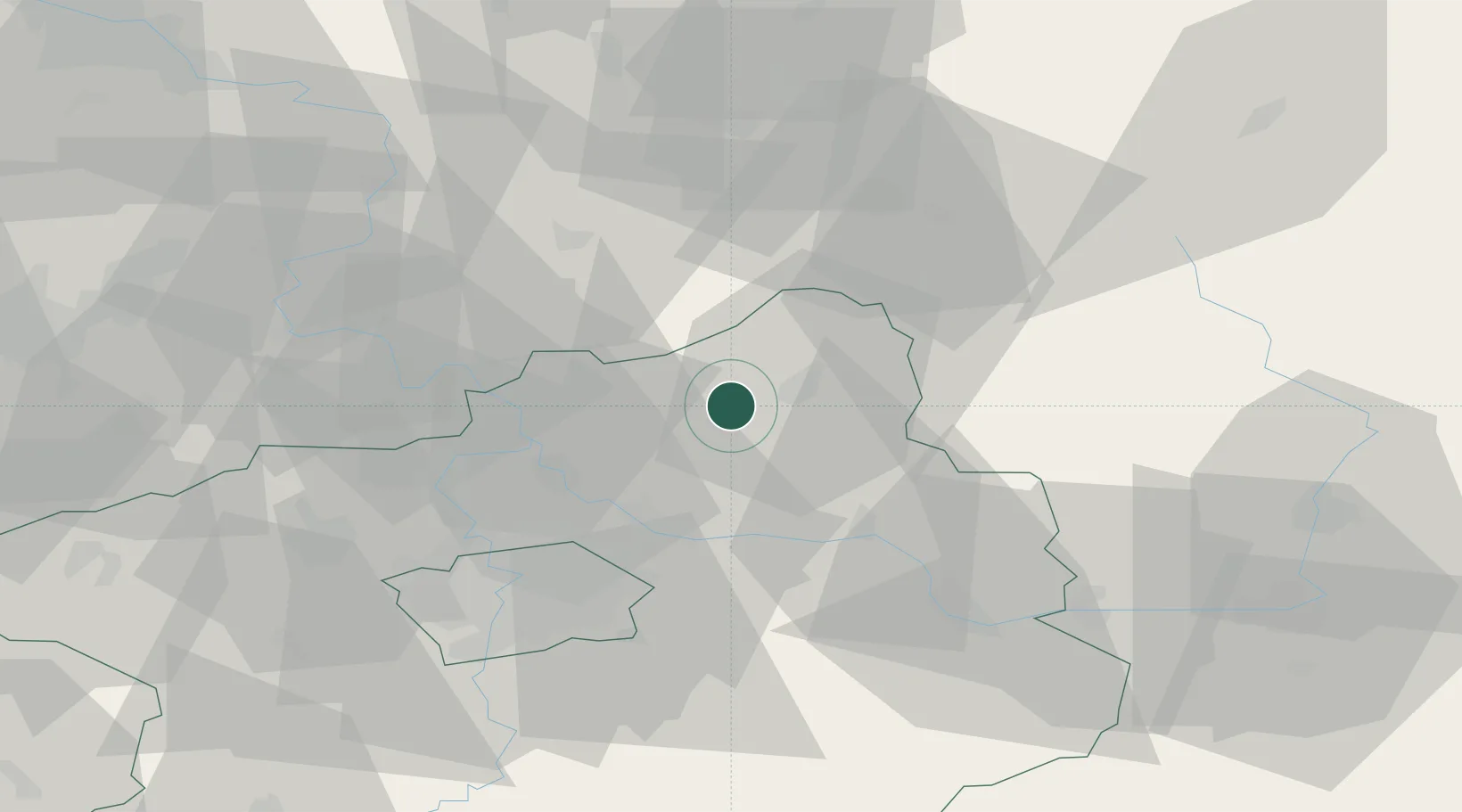
Populated place
Region
Central Bohemia
Time zone
Europe/Prague
Elevation
225 m
Location
Nearby Logistics Neighbours
Cities
- 1Mladá Boleslav6 km
- 2Neprevázka7 km
- 3Dobrovice10 km
- 4Vysoká Liben12 km
- 5Bakov nad Jizerou12 km
Ports
- 1Szczecin336 km
- 2Police353 km
- 3Swinoujscie393 km
- 4Wolgast412 km
- 5Kolobrzeg427 km
Airports
- 1Kostomlaty Airstrip23 km
- 2Vodochody Airport36 km
- 3Prague–Kbely Air Base37 km
- 4Václav Havel Airport Prague52 km
- 5Čáslav Air Base65 km
Trade Zones
DatabookThe Record of Consolidated Knowledge
Czechia beyond logistics?