UN/LOCODE hub · Czechia
CZPXL
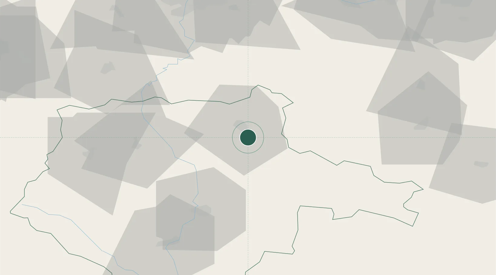
Planá nad Luznicí
49.3500°, 14.7167°
3,128
Population
2
Transport functions
Transport Functions
Rail
Road
Hub Profile
Place type
Populated place
Region
Jihočeský kraj
Population
3,128
Time zone
Europe/Prague
Elevation
396 m
Location
Nearby Logistics Neighbours
Cities
- 1Tábor7 km
- 2Veseli nad Luznici19 km
- 3Neplachov25 km
- 4Temelín31 km
- 5Dolni Pena34 km
Ports
- 1Monfalcone406 km
- 2Nogaro416 km
- 3Trieste418 km
- 4Grado420 km
- 5Muggia423 km
Airports
Trade Zones
DatabookThe Record of Consolidated Knowledge
Czechia beyond logistics?