Transport Functions
Multimodal
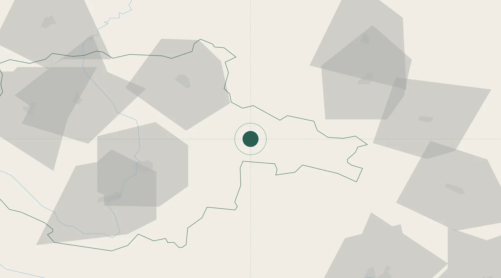
Hub Profile
Place type
Populated place
Region
Jihočeský kraj
Population
114
Time zone
Europe/Prague
Elevation
480 m
Location
Nearby Logistics Neighbours
Cities
- 1Strmilov14 km
- 2Trebon20 km
- 3Veseli nad Luznici24 km
- 4Neplachov28 km
- 5Lisov32 km
Ports
- 1Monfalcone387 km
- 2Trieste397 km
- 3Nogaro398 km
- 4Grado402 km
- 5Muggia402 km
Airports
- 1České Budějovice South Bohemian Airport47 km
- 2Náměšť Air Base81 km
- 3Čáslav Air Base95 km
- 4Pardubice Airport113 km
- 5Linz-Hörsching Airport115 km
Trade Zones
DatabookThe Record of Consolidated Knowledge
Czechia beyond logistics?