Transport Functions
Road
Multimodal
Hub Profile
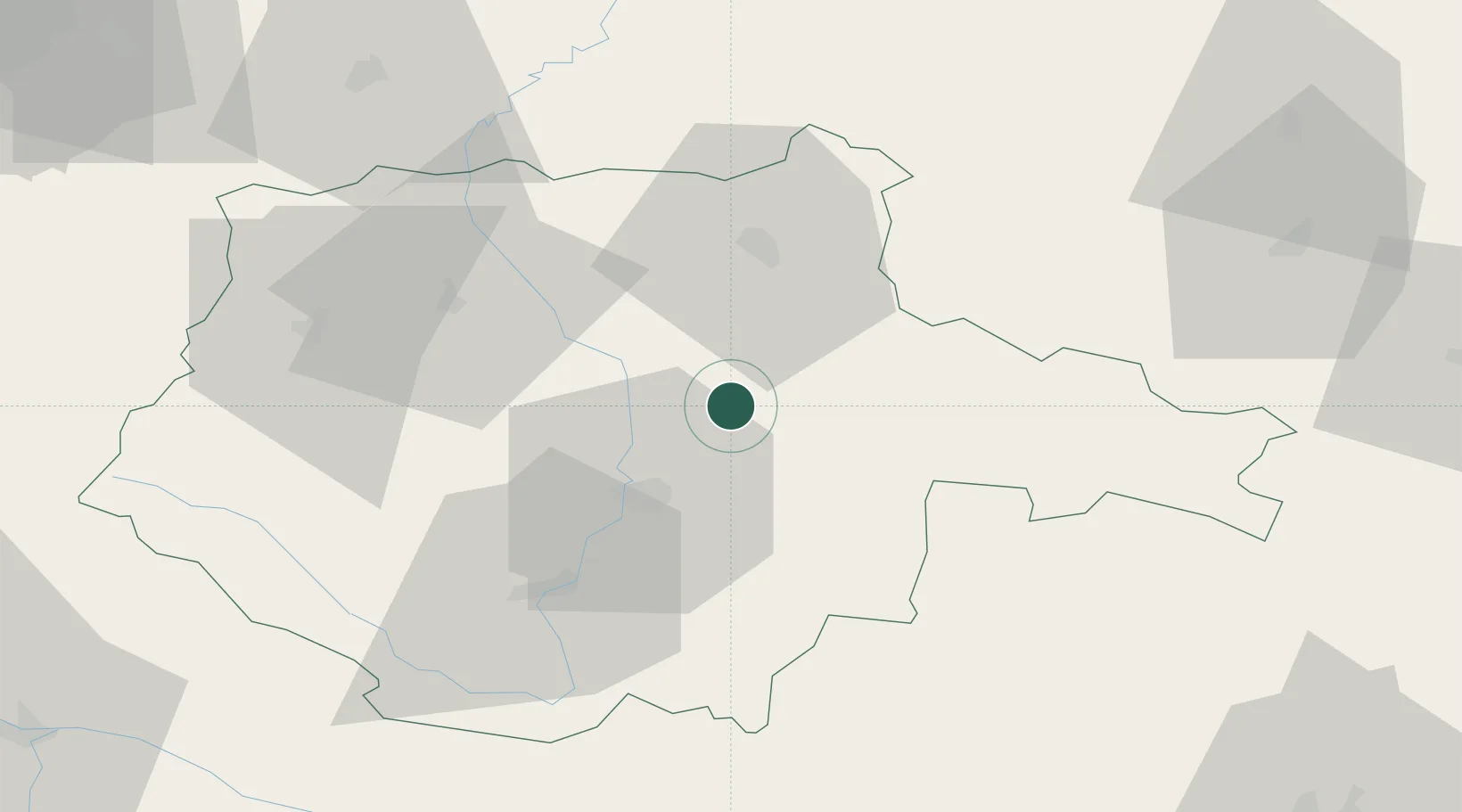
Place type
Populated place
Region
Jihočeský kraj
Population
353
Time zone
Europe/Prague
Elevation
435 m
Location
Nearby Logistics Neighbours
Cities
- 1Veseli nad Luznici7 km
- 2Lisov13 km
- 3Trebon17 km
- 4Hluboká nad Vltavou17 km
- 5Ceské Budejovice21 km
Ports
- 1Monfalcone381 km
- 2Nogaro391 km
- 3Trieste393 km
- 4Grado395 km
- 5Muggia398 km
Airports
- 1České Budějovice South Bohemian Airport25 km
- 2Čáslav Air Base105 km
- 3Linz-Hörsching Airport105 km
- 4Náměšť Air Base109 km
- 5Prague–Kbely Air Base110 km
Trade Zones
DatabookThe Record of Consolidated Knowledge
Czechia beyond logistics?