Transport Functions
Multimodal
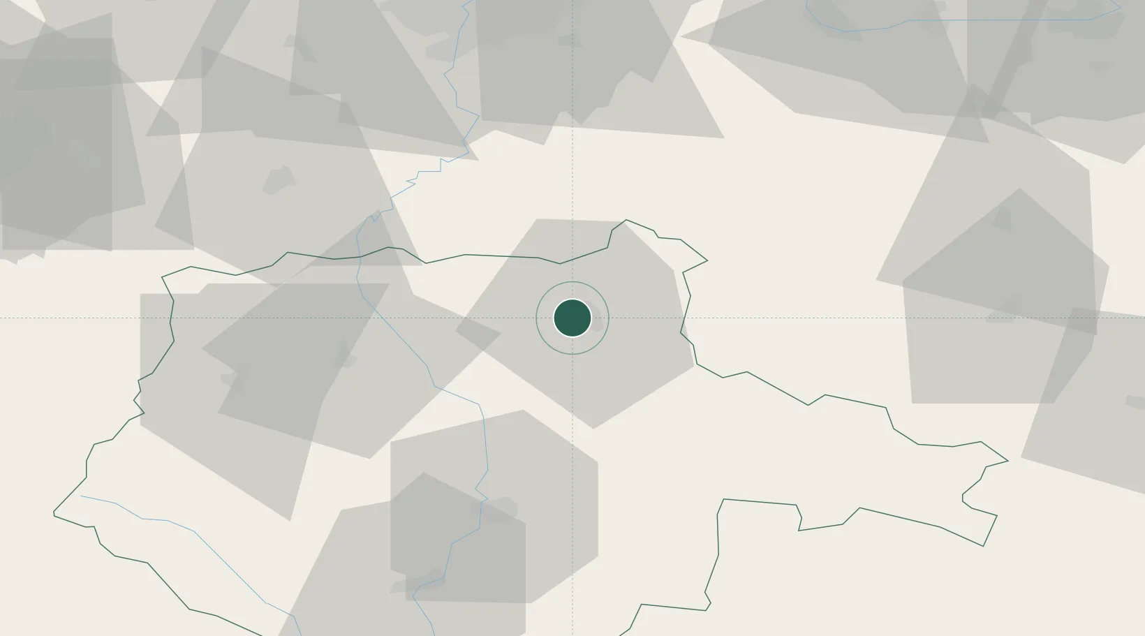
Hub Profile
Place type
Populated place
Region
Jihočeský kraj
Population
36,264
Time zone
Europe/Prague
Elevation
456 m
Location
Nearby Logistics Neighbours
Cities
- 1Planá nad Luznicí7 km
- 2Veseli nad Luznici24 km
- 3Neplachov30 km
- 4Temelín31 km
- 5Sedlec35 km
Ports
- 1Monfalcone411 km
- 2Nogaro420 km
- 3Trieste422 km
- 4Grado424 km
- 5Muggia428 km
Airports
Trade Zones
DatabookThe Record of Consolidated Knowledge
Czechia beyond logistics?