Transport Functions
Rail
Road
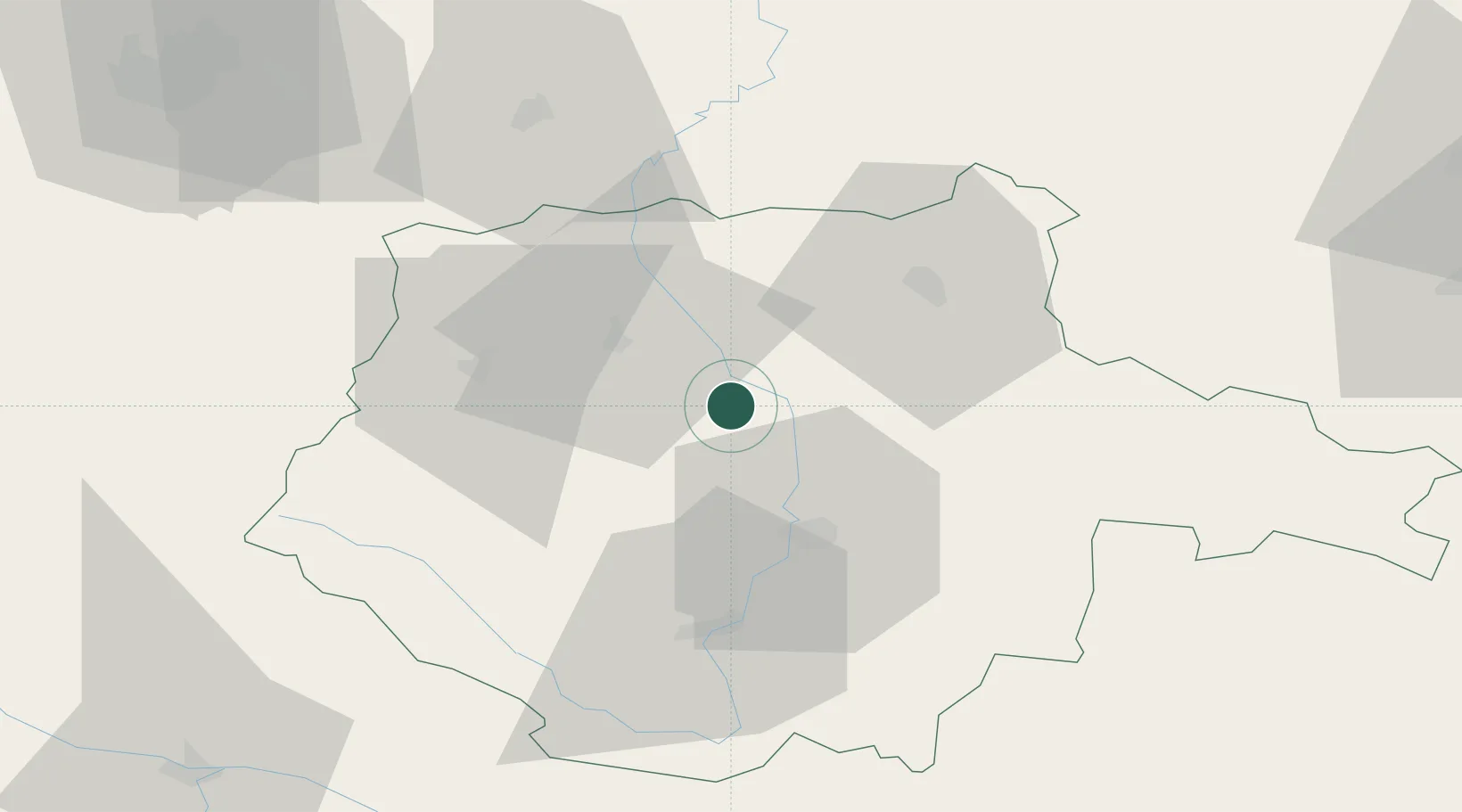
Hub Profile
Place type
Populated place
Region
Jihočeský kraj
Population
766
Time zone
Europe/Prague
Elevation
485 m
Location
Nearby Logistics Neighbours
Cities
- 1Sedlec4 km
- 2Protivin10 km
- 3Zliv17 km
- 4Hluboká nad Vltavou18 km
- 5Pisek18 km
Ports
- 1Monfalcone385 km
- 2Nogaro393 km
- 3Trieste397 km
- 4Grado398 km
- 5Muggia403 km
Airports
- 1České Budějovice South Bohemian Airport29 km
- 2Plzeň-Líně Airport94 km
- 3Václav Havel Airport Prague100 km
- 4Prague–Kbely Air Base103 km
- 5Linz-Hörsching Airport108 km
Trade Zones
DatabookThe Record of Consolidated Knowledge
Czechia beyond logistics?