Transport Functions
Port
Road
Hub Profile
Place type
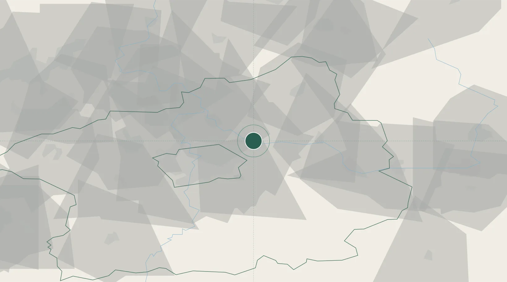
Populated place
Region
Central Bohemia
Population
275
Time zone
Europe/Prague
Elevation
174 m
Location
Nearby Logistics Neighbours
Cities
- 1Karany2 km
- 2Celákovice4 km
- 3Nehvizdy6 km
- 4Mochov7 km
- 5Drisy7 km
Ports
- 1Szczecin360 km
- 2Police376 km
- 3Swinoujscie416 km
- 4Wolgast435 km
- 5Kolobrzeg452 km
Airports
- 1Prague–Kbely Air Base14 km
- 2Kostomlaty Airstrip15 km
- 3Vodochody Airport23 km
- 4Václav Havel Airport Prague34 km
- 5Čáslav Air Base55 km
Trade Zones
DatabookThe Record of Consolidated Knowledge
Czechia beyond logistics?