Transport Functions
Rail
Road
Hub Profile
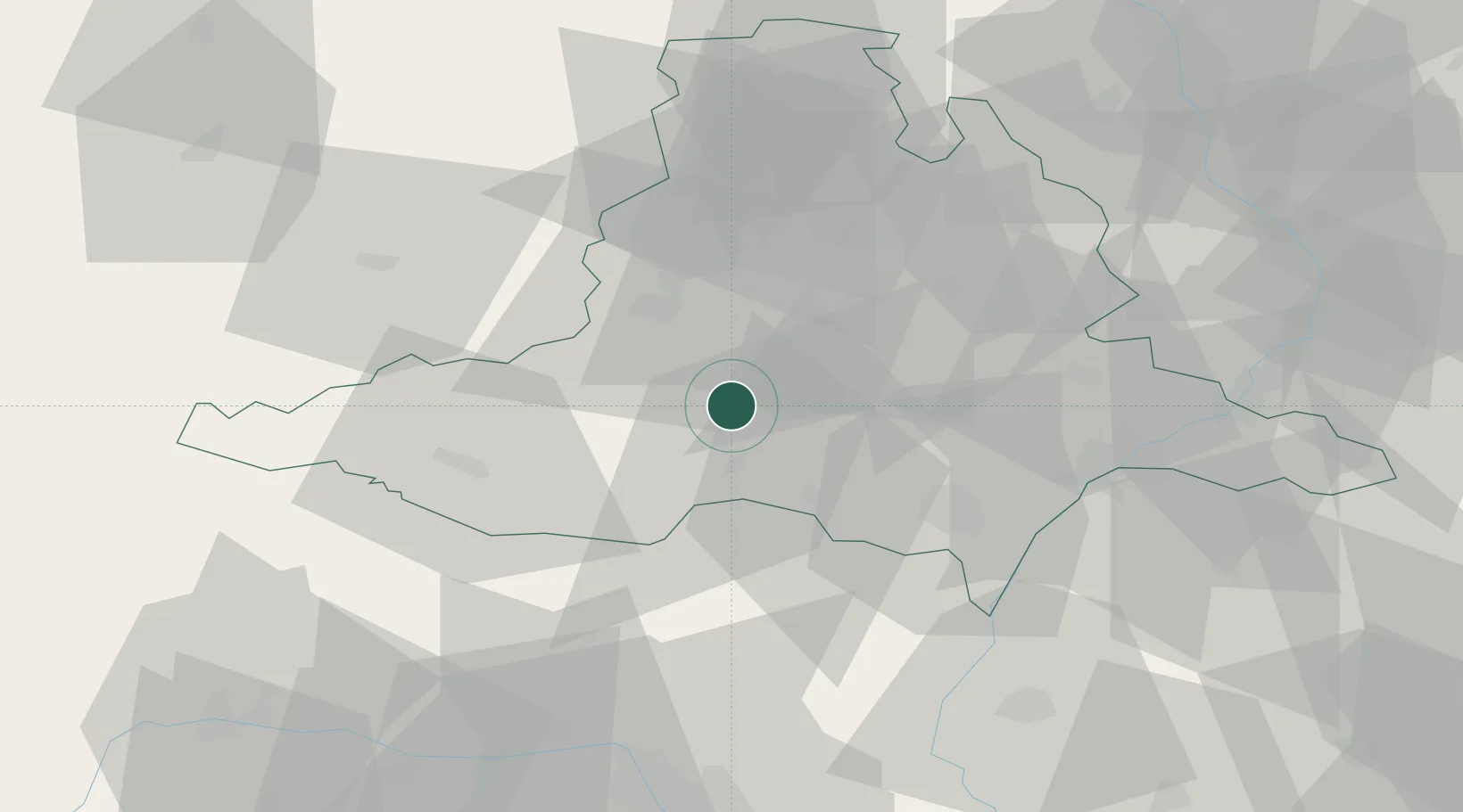
Place type
Populated place
Region
South Moravian
Population
6,126
Time zone
Europe/Prague
Elevation
181 m
Location
Nearby Logistics Neighbours
Cities
- 1Pohorelice U Brna2 km
- 2Babice8 km
- 3Pouzdrany9 km
- 4Drnholec13 km
- 5Dolní Vestonice14 km
Ports
- 1Monfalcone418 km
- 2Trieste423 km
- 3Muggia427 km
- 4Rijeka Luka433 km
- 5Koper433 km
Airports
- 1Brno-Tuřany Airport25 km
- 2Náměšť Air Base35 km
- 3Kunovice Airport69 km
- 4Malacky/Kuchyňa Air Base78 km
- 5Přerov Air Base83 km
Trade Zones
DatabookThe Record of Consolidated Knowledge
Czechia beyond logistics?