Transport Functions
Port
Road
Hub Profile
Place type
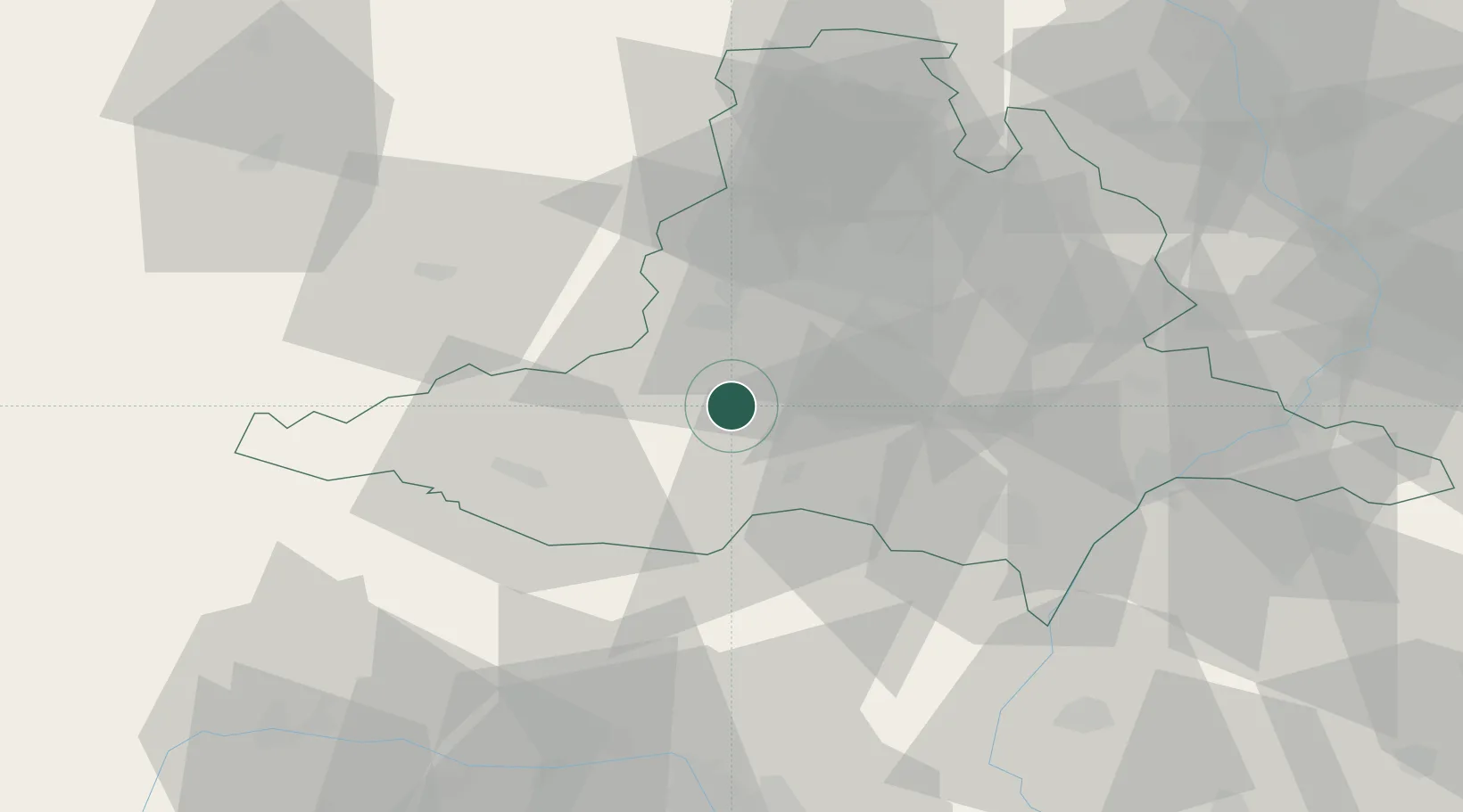
Populated place
Region
South Moravian
Time zone
Europe/Prague
Elevation
197 m
Location
Nearby Logistics Neighbours
Cities
- 1Pohorelice8 km
- 2Pohorelice U Brna9 km
- 3Drnholec17 km
- 4Pouzdrany17 km
- 5Novosedly18 km
Ports
- 1Monfalcone415 km
- 2Trieste421 km
- 3Muggia425 km
- 4Koper432 km
- 5Rijeka Luka432 km
Airports
- 1Brno-Tuřany Airport28 km
- 2Náměšť Air Base29 km
- 3Kunovice Airport76 km
- 4Malacky/Kuchyňa Air Base83 km
- 5Přerov Air Base88 km
Trade Zones
DatabookThe Record of Consolidated Knowledge
Czechia beyond logistics?